
Our Friday evening rush hour will be impacted by a quick-hit of snow as our well advertised storm system (Another Weekend, Another Storm) moves through the Region.
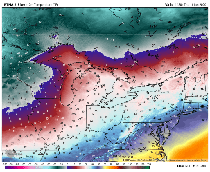
The cold air is in place right now–you feel it–we’re back to January:
A storm system will develop in the southern Plains today and we’ll take a large area of moisture and throw it into our cold airmass. The result will be a snowy, icy mess for a good portion of the country with a transition to rain as warmer, Gulf of Mexico air briefly works into the storm. 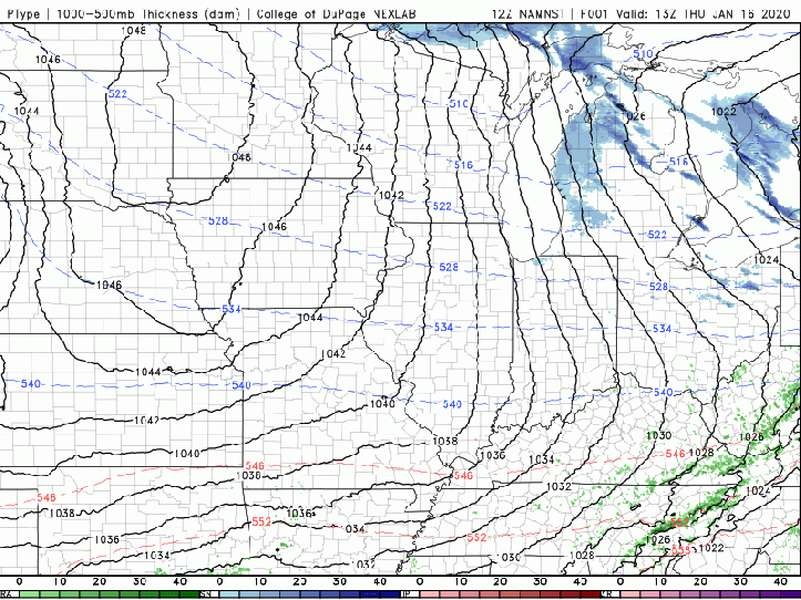
Here’s a look at what the timeline looks like locally courtesy of SodaStream:
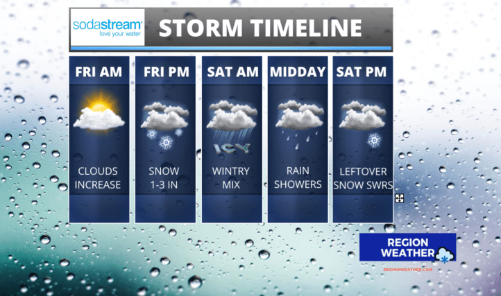
In terms of accumulations, we could see a quick accumulation in and around the Friday evening rush carrying through the evening. While we’re not expecting us to remain snow for a long period of time, we could see some efficient snowfall rates leading to a quick 1-3 inches of snow. Some areas could pick up slightly more if the snowfall reaches max efficiency, but more often than not, that doesn’t happen so we’ll stick with a few inches of wet snow Friday evening before it changes over to a wintry mix.
Friday night travel will likely be messy. By Saturday, warmer air briefly works in changing everything over to rain for several hours.
By late Saturday, snow will begin to mix with the rain and we’ll likely see all snowflakes before the system departs.
Much colder air–like MUCH colder air will arrive Sunday with highs struggling to reach the mid 10s. Hello January.
We’ll continue to update you right here at regionweather.com and on our Facebook page found here. Stay tuned!
