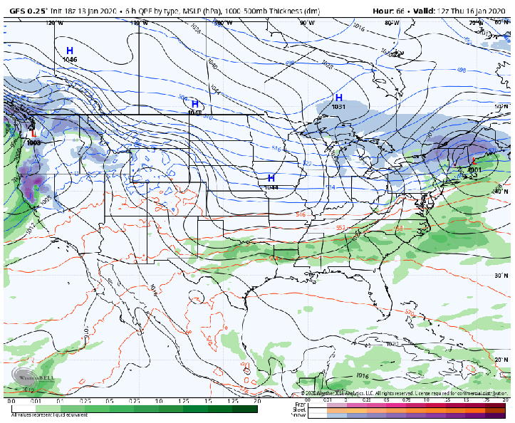
We’re getting an early look at our next major weather-player across the Midwest and Great Lakes that looks to arrive Friday through Sunday. The difference between this storm and last weekend’s storm is twofold:
- We’ll start with cold air in place this time.
- The storm track looks to be more west-to-east making it harder for the cold air to leave
The result?
It all depends on the track, but an early look tells me we’ll likely have a wintry travel situation (snow and ice) come Friday night into the weekend. Stay tuned.