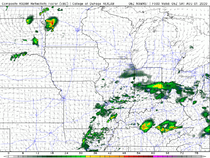
An area of low pressure will head northeast through the eastern Great Lakes today into tonight spreading widespread rain to a good portion of the Ohio Valley. We’re on the northwest fringe of the entire system, so while we won’t see a TON of rain, we’ll still see waves of scattered showers.
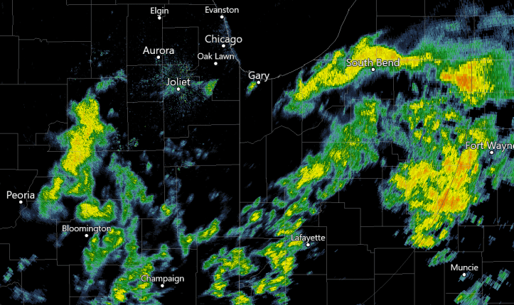
A few decent downpours are moving through portions of the Region this morning with the heaviest rain east:
As we go through the day, these waves of showers will continue on and off before the system begins to exit Sunday. A cold front will then sweep in here late Monday into Tuesday bringing another chance for showers and storms:
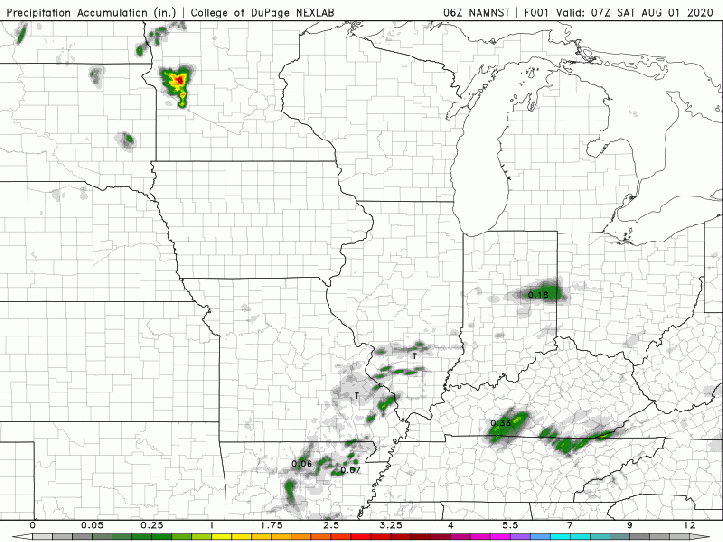
In terms of rainfall–we need it. The heaviest rain will fall in and around the area of low pressure. That low will travel to our east so we’ll miss out on the good stuff–but we could still see a few totals over a quarter inch under some of the heaviest downpours. That will certainly help our abnormally dry to moderate drought situation.
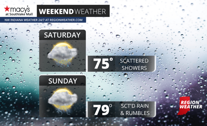
In terms of temps, the clouds will help keep us on the cooler side. We may break into some sunshine between the scattered rain on Sunday helping to add a bit of instability to the air. For that reason we’ll introduce the chance of a few rumbles into the forecast on Sunday. While not a washout, you will have to be dodging the rain this weekend so keep that in mind if you’re heading out and about!