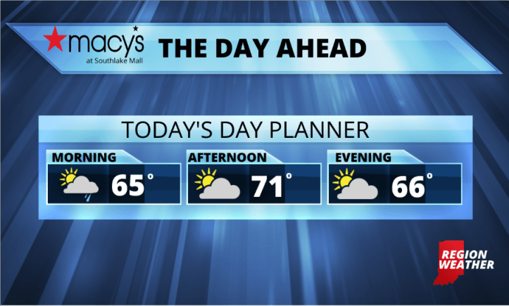
A refreshing Tuesday is in front of us NWI! The combination of Tropical Storm Isaias and an area of low pressure to our east will help drag down some seriously fall-like air from Canada the next few days!
We’ll see lake effect clouds and a few showers work back into the Region this morning and will likely last through midday. Drier air will then work into the Region this afternoon helping to erode the clouds–hopefully. Regardless, our high temps will only top out in and around 70 with overnight lows dropping well into the 50s! It will be breezy with gusty north winds at 10 to 25 mph. Not a good day to be in the lake!