SIGNIFICANT RAIN JUST SOUTH LAST NIGHT
This current weather pattern needs to leave. A band of unrelenting rain pushed south through the Region yesterday evening and stalled just south of us as expected last night. A corridor of flooding rain continued overnight and into this morning with a widespread 3-6 inches of rain just south of Fowler into areas of Benton County stretching back into Illinois. While we largely missed this round (thankfully), there’s a good push with another developing complex of storms in…you guessed it…IOWA this morning! This complex will begin to push this band of rain northward today. A lot of this band will begin to fade this morning, but the large complex of rain will remain as it travels into Wisconsin and northern Illinois. We’ll carry lower end rain chances today depending on what this line to our west decides to do. Much of this action will move in here later today into tonight with more storms. The severe risk isn’t too high, but with the tropical humidity once again in place today, we may get a few stronger storms later today into tonight. Stay tuned for timing.

WHEN DOES THIS PATTERN BREAK?
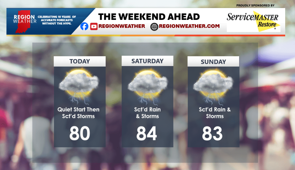
3 more days. Stay strong. We’ll have waves of storms all the way through Sunday before a front finally sweeps through and clears us out and more importantly–gets rid of this pattern! We’ll have plenty of sunshine and dry weather as we head into next week. For the weekend though, stay weather aware. We’ll have updates as needed.