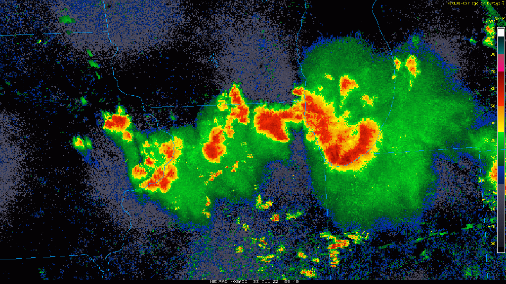
Our Saturday morning severe threat is over after strong winds, lots of lightning, and very heavy rain moved through with this complex that developed last night. We have a few downpours that have developed behind this line of storms that may move in over the next hour or two, but the bulk of the energy with this round has now shifted southeast. We have another round of severe weather developing in South Dakota and Minnesota–this complex of storms will roll southeast and will bring another round of storms later this evening into Saturday night. We’ll keep you updated! Take a look at the evolution of our storms last night: