
A major winter storm will develop today and head northeastward into the Ohio Valley Monday and Tuesday spreading widespread heavy snow and ice on the cold side and strong storms on the warmer side. This system will also drag down record to near-record setting cold into portion of the Deep South and southern Plains.
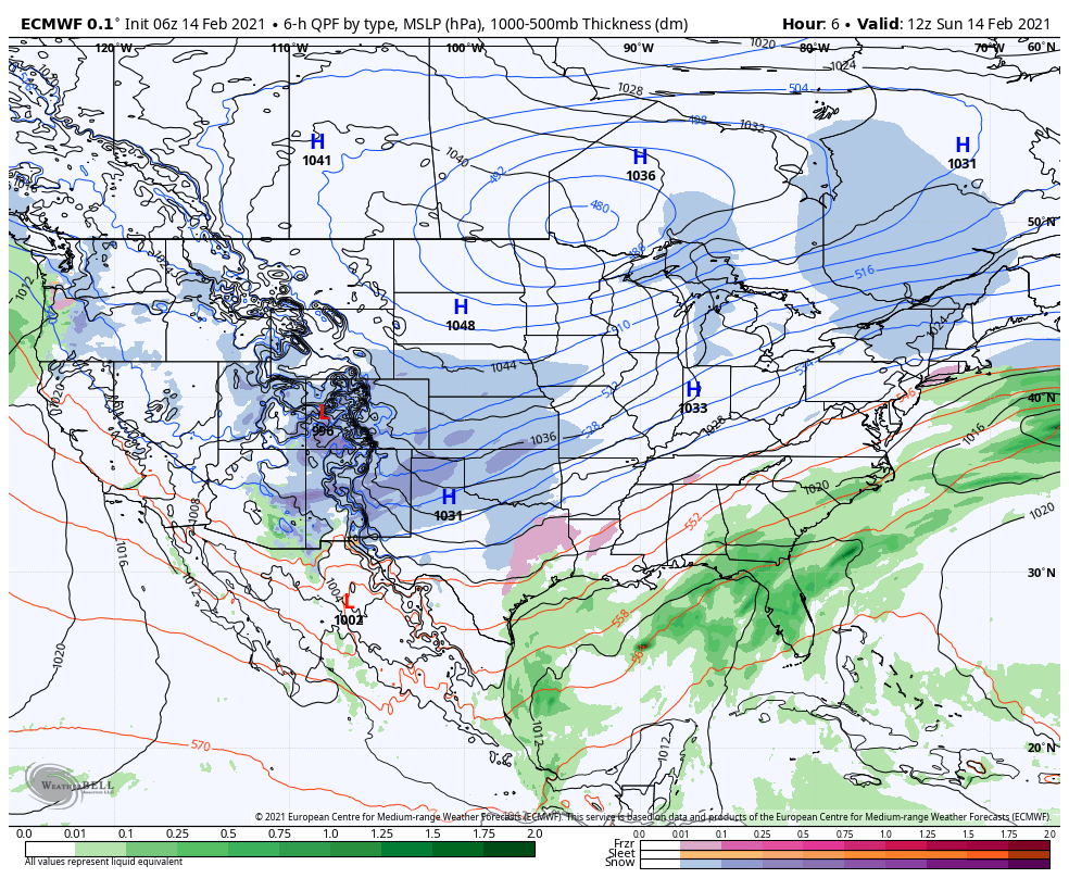
We’ll be situated on the very western edge of this storm with the heaviest snow accumulations expected downstate and into Ohio. Complicating our forecast will be the development of lake effect snow later Sunday that will likely be on-going throughout the entire event. This will bring the potential for significant accumulations mainly from lake effect snow in and around the lake. Let’s dive into the details.
SNOW TIMELINE
Sunday: Lake effect snow develops while light snow overspreads the Region periodically later in the day from the winter storm
Sunday night: Widespread light to moderate snow from the winter storm with localized lake effect snow producing potentially heavy rates
Monday AM-Midday: Widespread light snow from the winter storm breaks up a bit, but lake effect snow continues but shifts west into Chicago and may linger in Lake County
Monday PM: Widespread snow in the Region from our second wave of the winter storm. Lake effect snow still in the mix in localized spots.
Tuesday: Winter storm moves out but lake effect snow lingers
Here’s a look at how that might evolve on the radar:
IMPACTS:
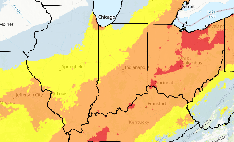
Significant impacts will be felt from Texas through Ohio with even portions of downstate Indiana experiencing disruptive travel. Notice how the winter storm itself won’t cause significant impacts to the Region, but rather the lake effect snow. Either way, it doesn’t matter where we get our snow from, we’re likely to see some real tough travel in and around the lakeshore areas wherever the lake snow decides to set up. Outside of the lake effect, we’ll certainly see snow with disruptive travel, but the worst of the weather will take place where that lake effect is located.
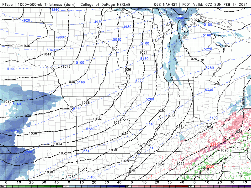
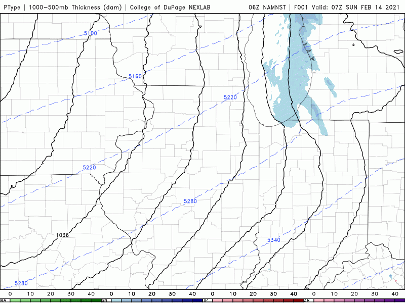
TYPE OF SNOW
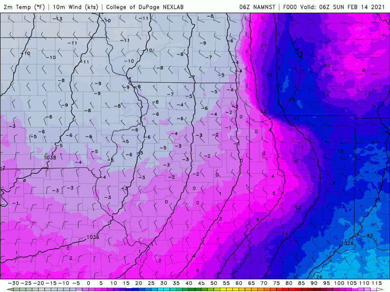
As we continue to be locked into the bitter cold, there won’t be a high moisture content to the snow. This doesn’t bode well for snowman-making or snow forts as we’re expecting another fluffy snow that easily blows around. Take a look at how our cold temps stick around with NO precip-type questions with this storm. All snow.
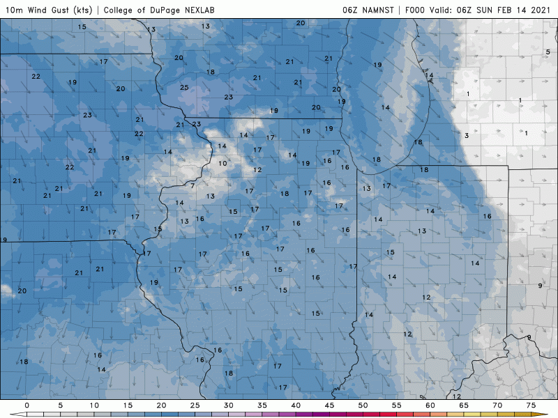
HOW WINDY WILL IT BE?
Winds will become gusty with this storm system and inside the lake effect snow band where it persists. Overall this isn’t a huge wind storm, but winds of 15-25 will be common and with our lightweight snow, blowing snow will be an issue, especially in rural areas.
HOW MUCH CAN WE EXPECT?
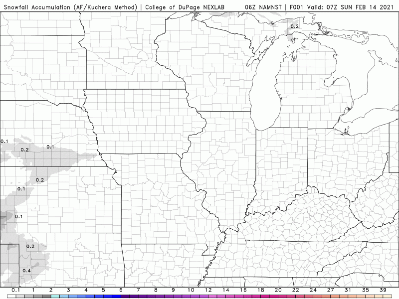
Notice we mention this last as we will always preach IMPACTS before totals. We’ll all be impacted by this storm with tough travel and greatly reduced visibilities inside that lake effect snow band. Models have anywhere from 2-4 inches to 10-14 inches depending on which you trust–that’s why you’re seeing amounts all over the board with local forecasts. Here’s the model we like best which highlights the lake effect snow mixed with the winter storm snow:
GENERAL SNOWFALL OUTSIDE OF THE LAKE EFFECT
Notice this snow will essentially come in 2 waves with a general 2-4 falling Sunday night and Monday and another 3-6 falling later Monday into early Tuesday.
LAKE EFFECT SNOW
The combination of very cold air, abundant moisture from this system and an elongated north to northeast fetch (wind) across Lake Michigan will likely lead to the development of a decent band of lake snow that will support heavy snowfall. We expect it to start in LaPorte and Porter counties Sunday and ramp up in intensity and shift to the west into Lake County and Chicago Sunday night through Monday before perhaps returning late Monday into Tuesday. Lake effect snow is very difficult to forecast, so this may change, but this is our thinking for now. We could easily see 6-12 inches where this band sets up, perhaps more. Those folks in LaPorte, Porter, and Lake County–you know the drill. You’ll want to prepare for rapidly changing conditions and the potential for significant lake effect snow from this. We’ll keep you updated throughout the event on our Facebook Page.
