
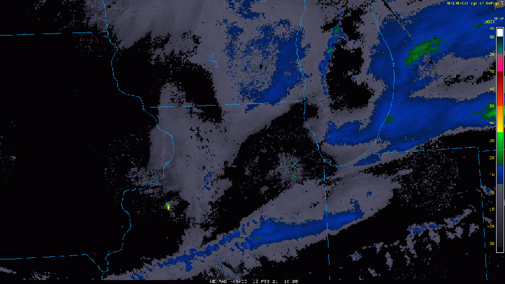
Take a look at the band of lake effect snow just sitting offshore this Friday morning just aimlessly floating around Lake Michigan.
This snow will begin to get some legs under it later today as our wind turns more northerly and we’re expecting lake effect snow to move inland into Porter and LaPorte counties this afternoon through tonight and the day Saturday. It could produce some localized heavy snow beginning tonight and continuing through the day Saturday.
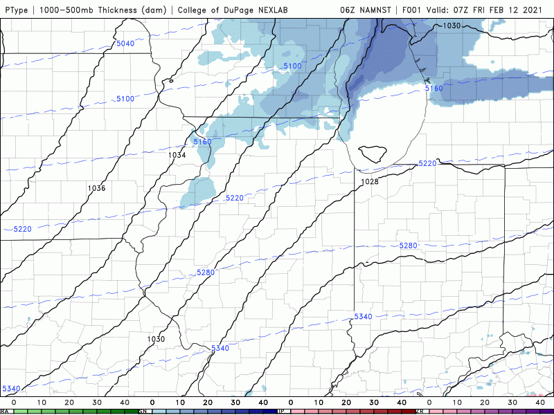
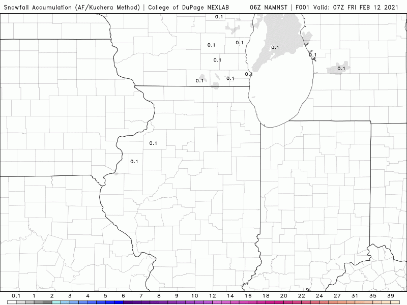
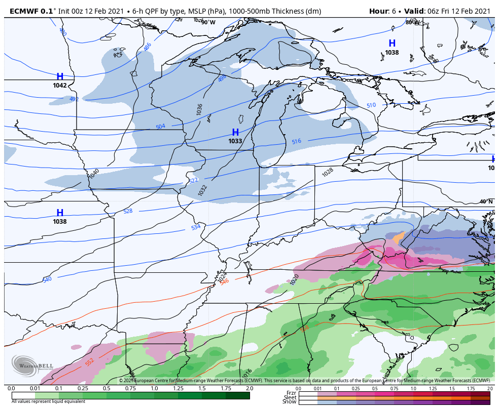
At the same time, our next snow system will begin to over spread all of NWI with some widespread light to moderate snow resulting in a widespread accumulating snow for the Region.
Through late Saturday we’ll likely end up with 1-3 inches in Newton and Jasper counties, 2-4 for most everyone else with the exception being the locations that get under our expected lake effect snow where several additional inches on top of the 2-4 could fall (likely in Porter and LaPorte counties) with over a half foot possible in spots!
Beyond this several major snow storms will be moving through the US over the next 10 days that we’ll need to chat about!
Join us for a Region Weather LIVE broadcast later today! (Time TBD, you can always watch the rebroadcast if you miss)
