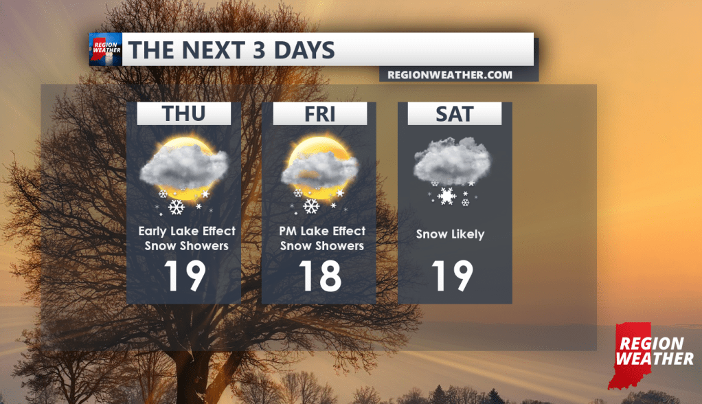
Multiple rounds of snow continue as a conveyor belt of storm systems bring snow through the Region and much of the eastern half of the US. In between, we get these little bouts of lake effect snow like we’re seeing as of Thursday morning.
Our Thursday lake effect will shift west towards Chicago as winds veer to the northeast.
Another system will move in to our north spreading light snow through Wisconsin Friday and bringing some lake effect snow back into NWI later in the day Friday as winds turn more northly for a brief period.
By Saturday, the next wave of snow will move through likely bringing accumulating snow to the Region and depending on how the lake gets involved, we could see some decent snow in and around the lakeshore.
Here’s a look at how the next few days will shape up:
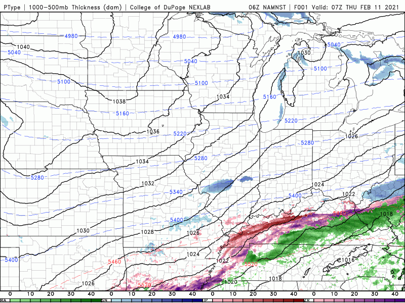
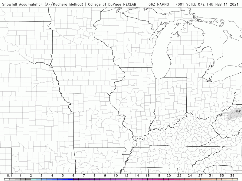
In terms of snowfall, the models are all over the place, but here’s the potential for snow through Saturday. Notice the heavier amounts in and around the lakeshore due to lake effect and lake enhanced snow:
We’ll have an update on this next snow system and the potential for more significant snow next week in our next update. Until then, here’s our forecast for the next 3 days: