
A storm system will slowly slip by to the south of the Region today and will help to pull in some colder air from the north. This will set us up for some COLD temps tonight through Friday with lows in the 10s and highs in the 20s. This will also help to kick off some lake effect snow today near Chicago that will translate east through the Region as winds shift more northwesterly aloft. It won’t be much, but depending on how strong the convergence (winds coming together out over the lake) becomes, we could see some briefly decent snowfall rates in and around the lakeshore stretching from Chicago all the way to LaPorte tonight.
Here’s how it might unfold on radar:

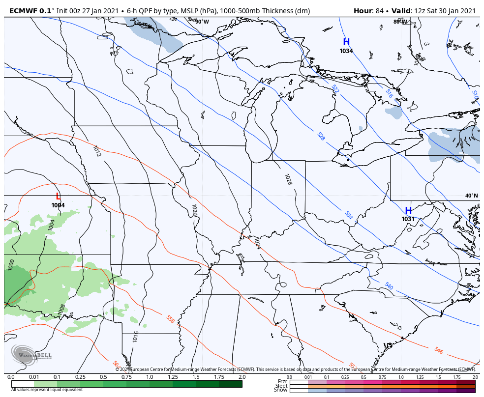
Also on our radar is the potential for another accumulating snow with a stronger storm system arriving this weekend. I know, I know…another storm, another bust potential for the Region. We’ll chat more about this in our next update.
We’ll pass along updates on the lake effect as needed this afternoon and evening.
Meanwhile, here’s the forecast for ALL of NW Indiana today:

