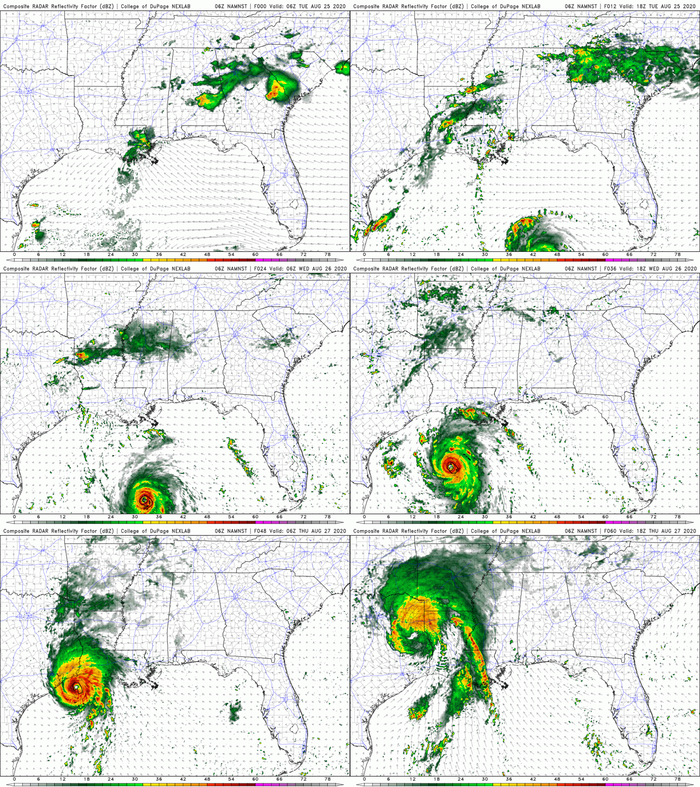
As hurricane Laura emerges out over the warm, tropical Gulf of Mexico, we’re likely to see some rapid strengthening over the next 24-36 hours. There is little in the way of wind shear and the remnants of Marco are not expected to impact the system at all outside of a slight pull to the west.
The National Hurricane Center is predicting max sustained winds to top 115mph before landfall which will put it in the major hurricane status as it approaches the coast of Louisiana and Texas. With water temps in the Gulf running 1-3 degrees above average and very little in the way of upwelling (colder water being brought to the surface by large waves) from Marco, we would absolutely agree that Laura will become a powerful storm system that may see peak winds even above the 115 threshold. Stay tuned!

Outside of the powerful winds closer to the center of circulation, we’ll see a large storm surge on the eastern side of the storm pushing ocean water well inland. Spin-up tornadoes are always an issue in the top right quadrant of the storm as well in addition to the flooding rains that are expected along the Gulf coast and inland.
