Lots to talk about weather-wise this weekend from storms to heat, so let’s get right to it. Let’s talk storm chances first:
A storm system will quickly work through the Region overnight tonight and will bring a round of showers and storms. Most of the energy in the atmosphere is to our west, so I’m not anticipating anything severe locally–but they could see a few potent storms west of us. We’ll likely see some downpours and lightning overnight before most of the rain clears the Region by late tomorrow morning.
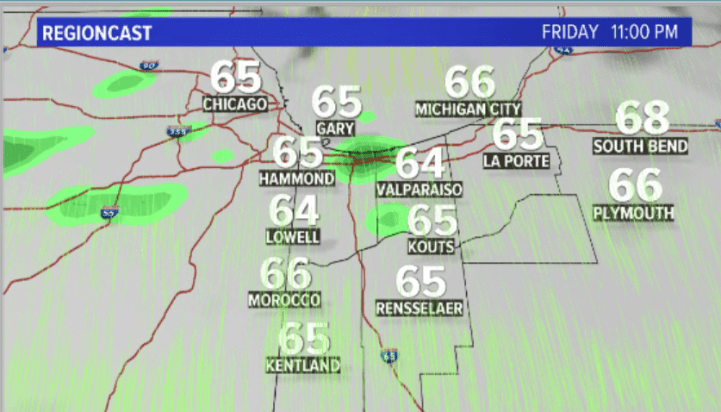
Here’s a look at what our model says about this evening with just patchy drizzle:
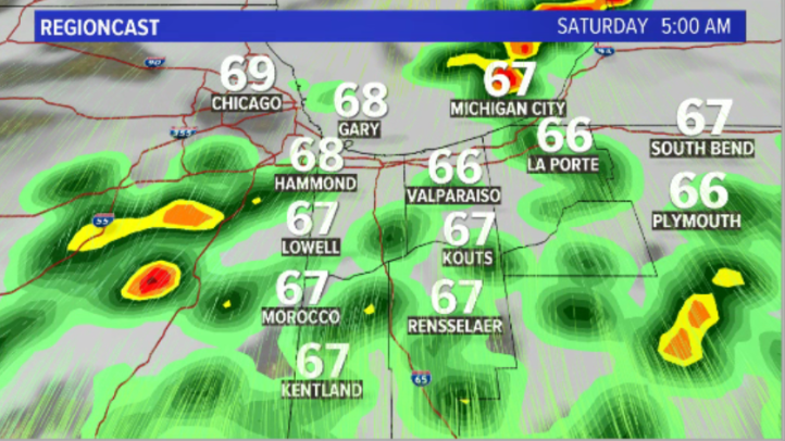
And then storms develop to our west and move in during the early morning hours:
Low clouds and patchy fog lingers into the morning:
Lingering moisture and some daytime heating may spark a few more storms tomorrow during the day:
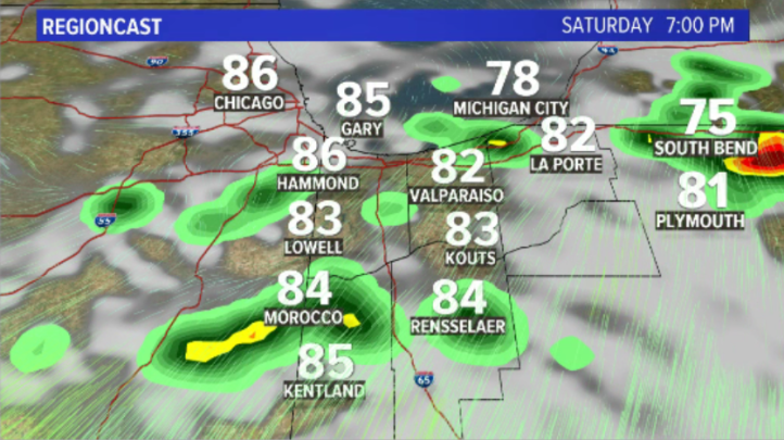
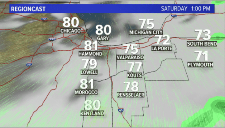
One thing is for sure, the HEAT and humidity will be returning this weekend. Saturday will be our transition day with building humidity hour-by-hour and temps well into the 80s. The hottest temps will be Sunday and Monday where it will feel like 100 at times:

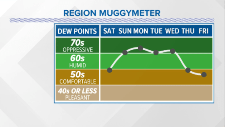
And a look at our humidity that ramps up every hour Saturday and becomes thick by Sunday through Tuesday before a cold front brings comfortable air back late week: