NICE N QUIET FOR NOW…BUT NOT FOR LONG
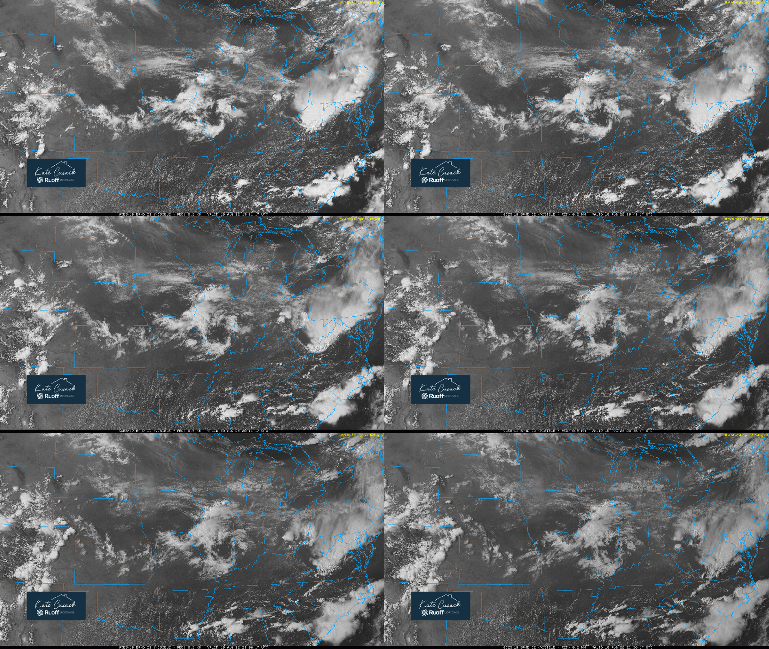
Good Monday afternoon everyone! We’ve been out of power all day, but it’s back and here we are. It’s 4:50pm CT and the skies are nice and quiet across the Great Lakes with just a few storms getting going in northern Illinois and southern Wisconsin. What an incredibly challenging pattern with an atmosphere that’s ready to pop at any time.
Our instability is off the charts today, but storms aren’t quite tapping into that yet due to several factors. To save you the time–we expect those factors to change the rest of the day and storms should begin to fire all over the Midwest and southern Great Lakes. Any storms that fire have the potential to quickly go severe with damaging winds, hail, and torrential rain as the primary risks this evening and tonight.
We also have growing signs that will be a complex of storms tomorrow that surges across the Midwest and potentially through us during the day. This would have derecho written all over it–but it’s too soon to get into details–but there are signals that one may develop tomorrow. Damaging winds are the high risk from the setup tomorrow.
Bottom-line we have very active weather potential once again the rest of the day, tonight, and through the day tomorrow in this weather pattern (as we’ve chatted about for the last week, this isn’t new information). We’ll keep you updated.