
SUNDAY MORNING STORM UPDATE
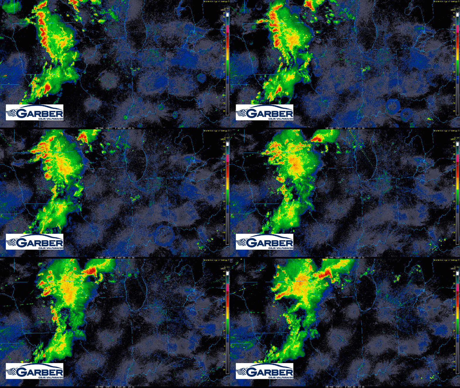
We have a mess to the west on radar this morning as an initial complex of storms and heavy rain rolls east through Iowa and Wisconsin. Most of this is NOT severe, but there’s a ton of lightning with this area of rain and storms. We’ll be watching this first in a series of waves move our way and with some daytime heating we’re likely to inherit this storms this afternoon. They may look a bit different as some of this complex fades as we await new development–but the risk remains the same. Heavy rain potential as well as damaging winds and isolated tornadoes can’t be ruled out with any storms that develop later today. Your phone app and models don’t have a great handle (or great accuracy as a result) on these setups so we’ll have to watch and see how this behaves with our atmosphere in terms of where the strongest storms develop. Make sure you’re plugged in for the latest–we’ll have updates as needed.
 Region Weather