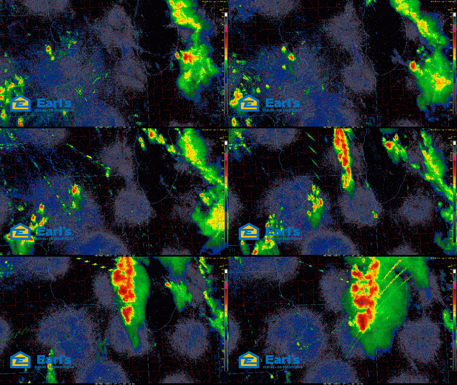
MASSIVE MIDDAY STORMS (Mon 7/27)
I don’t mean to be attention grabbing, but this is our atmosphere–storms have exploded along our anticipated instability gradient and are putting down a TON of heavy rain just to our north. These storms are huge–and yes, portions of them are severe, but the vast majority of these storms and they space they take up are due to the incredible amounts of moisture present in our air. You can feel it, it’s incredible tropical with dewpoints running near 80. So when we look at these storms–they look huge–but all that red indicates a huge amount of heavy rain–not all of it is scary.
That being said, I know it looks like we’ll get clipped by these storms with their movement towards Michigan, but there is a lot of storm building from north-to-south within these structures as they follow the instability gradient (between extremely unstable air and the more stable air in Canada). So, I expect these to build into northwest Indiana for our midday into early afternoon bringing very heavy rain, a flood threat, and the potential for some of these storms to be severe (note the tornado warning northwest of Chicago as of this post). There is also a TON of lightning with these. We’ll keep you updated, but for now, plan on this rough weather moving in within the hour.