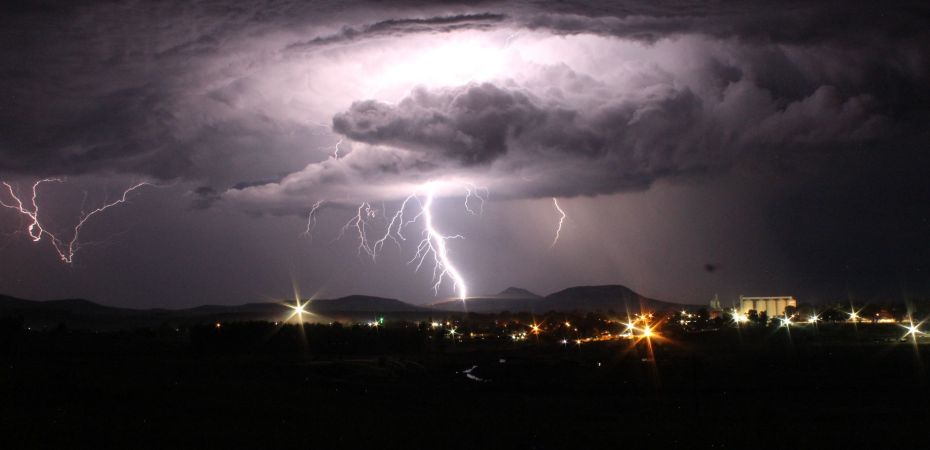
SEVERE THREAT TONIGHT-TOMORROW
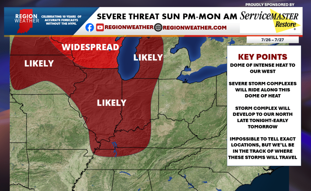
Good Sunday morning everyone, we hope you’ve been enjoying your weekend! Following up on our post from last Thursday, our forecast remains unchanged with a severe potential developing to our northwest later this afternoon/evening and rolling through here either very late this evening or more likely into tonight. This is that “ring of fire” pattern with intense heat to our west and large complexes of storms that roll along the periphery of that heat–which lays right over the Region tonight into early tomorrow. It’s never a guarantee that we’ll see severe weather in these setups, but we’ve seen the signal for 6 days now and we’ll be keeping a close eye on storm development to our north later today. The primary risk in these setups is damaging wind. We’ll have the latest in our weekly Region Weather LIVE broadcast right here at 5pm CT later today.
 Region Weather