Good evening everyone–wanted to pass along one final update before we all get ready for bed so we can sleep at ease tonight.
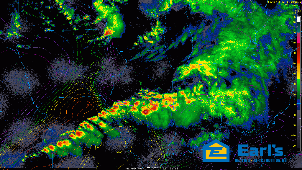
Severe storms producing large tornadoes continue well south of us in downstate Illinois with that activity heading into central and southern Indiana through time. Locally we’ve dried out as expected as we await the actual cold front swirling in from the northwest.
We’ve had a few severe storms ahead of the front in Iowa and Wisconsin, and while our severe threat certainly isn’t very high from here on out, I can’t rule out a storm or two along the actual front in a few hours being on the stronger side and producing some strong wind gusts.
Once this front moves through, we’re 100% severe weather clear overnight (after 10pm ish) but we’ll still have gusty winds around as this low heads east. Sleep at ease everyone–we missed it today thank goodness, but we certainly have a lot of water that needs to drain overnight after today’s heavy rain and flooding.