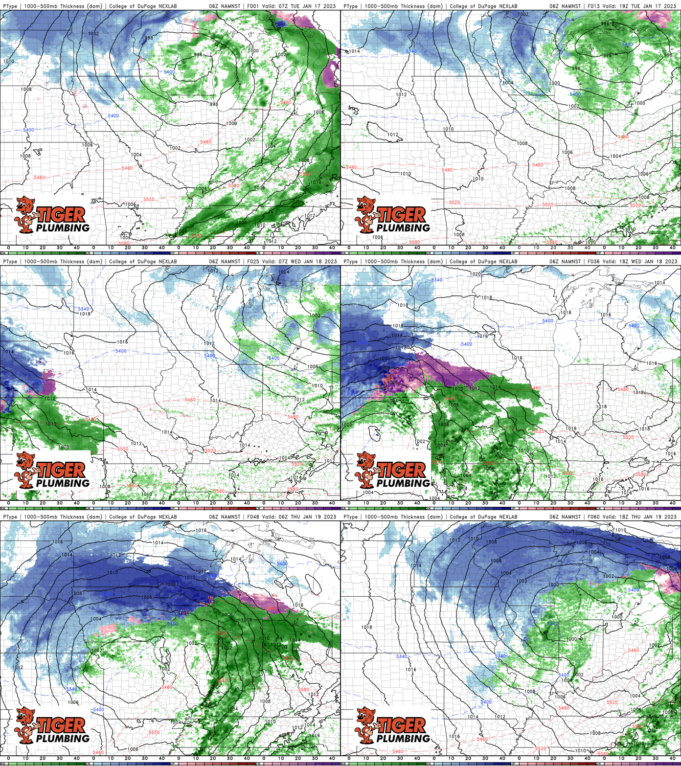
Clouds will be stubborn today with breezy conditions as we’re on the back side of last night’s cold front. Temps will remain steady in the low 40s at best. In the big picture, waves of storm systems continue to traverse the US as this active weather pattern continues this week. Our next storm system up will arrive later Wednesday through early Friday. We’re on the warmer side of this next one as well with rain (and a rumble or two of thunder!) moving in again later Wednesday before we finally turn colder for the weekend. The cold air this weekend is important because it will lay the foundation for a pattern change next week that brings a colder, snowier long-term forecast to the Region to end the month.

