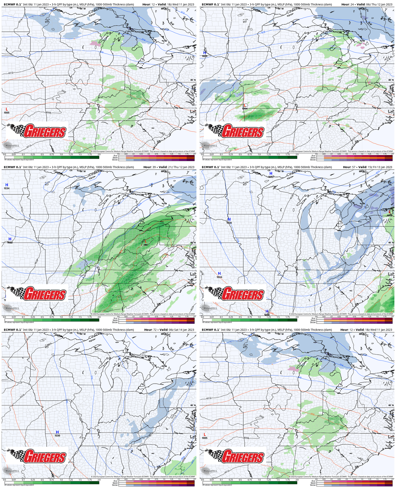
Our next low pressure system is well on its way towards the Region and will bring a bump in temps today (near 50!), some rain tomorrow (especially southeast), and some lake effect snow Friday on the backside of the entire thing. Overall impacts shouldn’t be too big as the track of the low has shifted south over the last few runs, taking the bulk of the rain (and snow) away from the Region. We may have some slick travel around here Friday with any more organized lake snow, but the primary thing you’ll notice will be the colder temps with highs acting more January-like by Friday as they only reach the low 30s!

