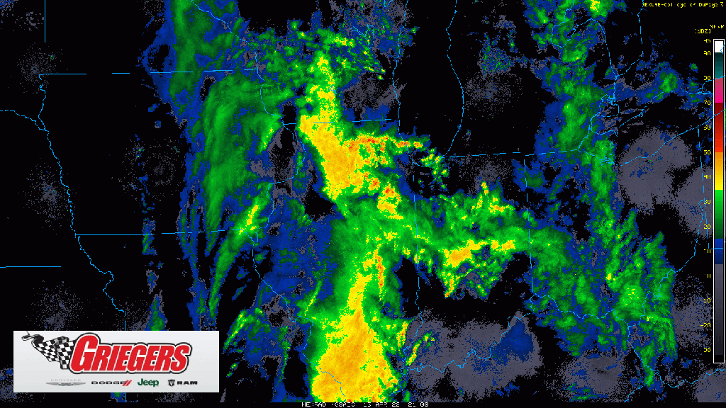
Showers continue to glide east through the Region with the actual cold front situated just to our west. Temps go from the mid 60s locally (as of 7pm) to the 30s in western Illinois behind the front. Severe weather continues to fire up downstate but will NOT impact us locally. Gusty winds will be possible with those showers moving in from Illinois along the front and we’ll watch those closely over the next few hours. Join us on our Region Weather LIVE broadcast later this evening as we’ll look forward in the forecast to our Easter Weekend and beyond!