
DREAMING OF A WHITE CHRISTMAS?
Not this year. This was the first Fall in recorded history that Chicago didn’t receive ANY measurable snowfall and while we saw minor accumulations in portions of the Region earlier in the fall, we’ve been just as snow-free as most of you know. The pattern has been persitent in keeping the steady stream of warmer air in the eastern US while allowing waves upon waves of storm systems to hit the west coast–a huge relief for the years of drought out there.
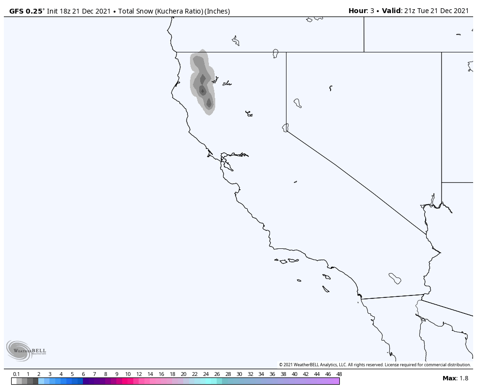
Who has snow? The west…and in incredible amounts. Skiers out west are loving this year and there’s no end in sight with 100-200 additional inches of snow expected over the next two weeks in some of the highest peaks of the Sierra Nevadas. Take a look:
With the western US seeing all the action, we’ll continue to see the same pattern across the east. A few bouts with cold (tonight and tomorrow), but overall a steady dose of mild air. The result will be a relatively snow-free Christmas for many in the east.
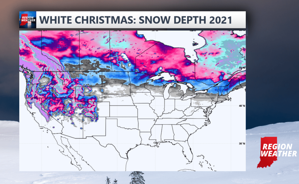
Here’s where we’re expecting snow on the ground on Christmas morning:
We’ll likely have to wait until the final week of December or even the first week of the new year before we see any major pattern changes that would bring a snowier, well at this point SOME SNOW into the Region. Have a Merry Christmas everyone!
