After a brief taste of true fall-time air mixed with showers and lake effect rain, we set ourselves up for a beautiful Friday around the Region as the low departs and high pressure takes over. Clouds will increase late day with our next system that looks to bring rain through NW Indiana at night.
That system will quickly zip through the Great Lakes bringing a reinforcing shot of cool air for Saturday, but beyond that we look to settle into a rather warm weather pattern for the end of the weekend into much of next week.
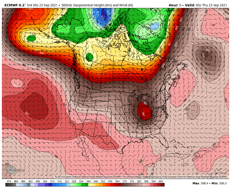
Take a look at the upper air pattern–a good indication of how our temps will respond here at the surface. The cooler air (greens and blues) retreats into Canada and we’ll enjoy warmer air from the southwest.