
A morning round of scattered showers and a few rumbles will move through the Region, but once this moves through we’ll begin to quiet down for the midday and afternoon hours. The atmosphere will likely recharge leading to the potential for more storms to quickly develop late in the afternoon into the evening. The Storm Prediction Center has placed the Region under a “Slight Risk” for severe weather today (Brush up on your categories here: Severe Weather Categories Explained).
As a reminder, we have a whole Severe Weather Page updated twice a day with the severe outlook for the day across the US! Tornado, Hail, and Wind risks are also updated twice a day as well as future outlooks from the SPC found on our Severe Weather Outlook Page.
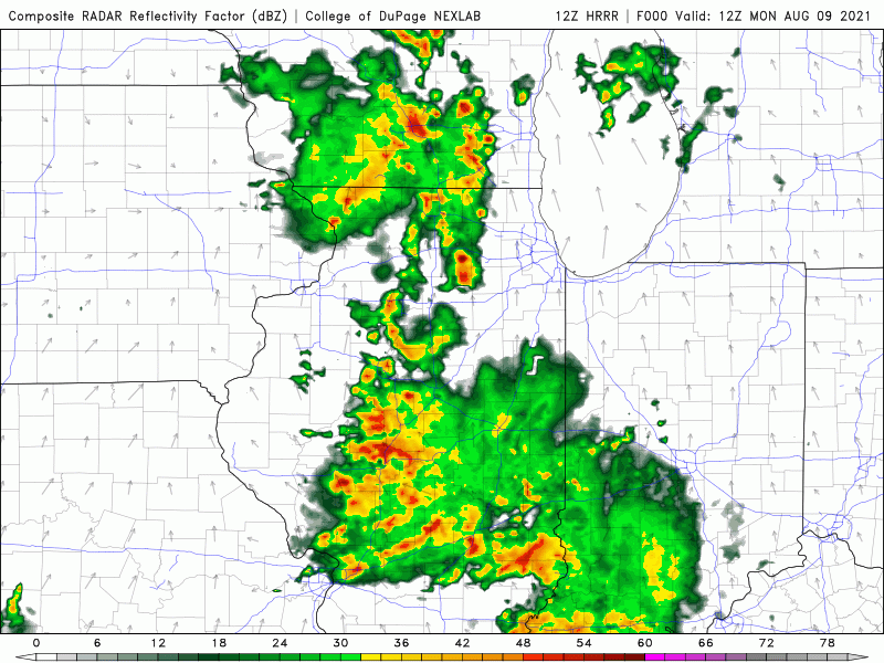
We have LOTS of moisture in place, so heavy rainfall is a good bet in any thunderstorms that do develop. Forecast guidance has been consistent in developing a line of strong storms from Chicago stretching back to the west and then sinking this line south into NW Indiana this evening. As we mentioned yesterday, models don’t always have a good handle on these patterns so we’ll have to wait and see how quickly this morning activity exits…but the potential is there for a stormy evening across the Region.
Stay tuned!
