
Happy Weekend everyone! A cold front will drop south across the northern Great Lakes during the day Saturday bringing a line of developing storms through the Region later in the day.
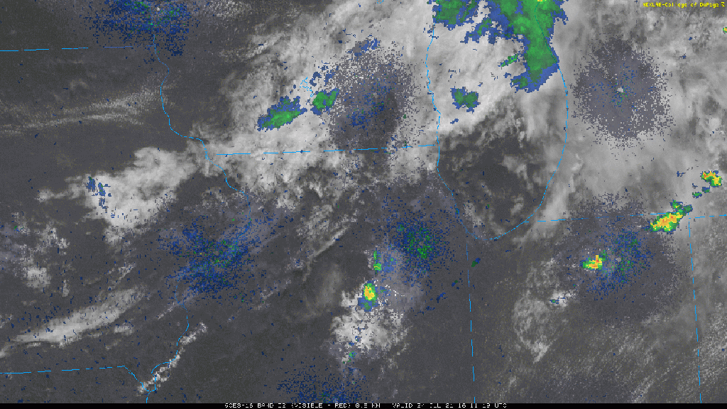
EARLY SATURDAY AFTERNOON RADAR UPDATE:
These storms will develop along that line of clouds in southern Wisconsin and northern Illinois. It’s this line we’ll watch roll southeast into the Region. Early Saturday afternoon radar/satellite:
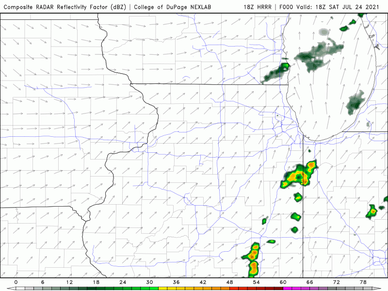
Here’s how that line of storms is expected to evolve:
It will be hot and humid with highs into the upper 80s. Combined with thick humidity, it will feel more like 95-98 at times. Sunday will feature falling humidity, albeit slowly, and similar highs well into the 80s. Rainfall chances look limited on Sunday behind the front with a mix of clouds and sun expected.
