
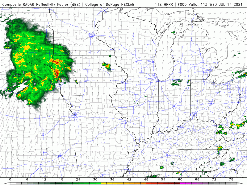
A cold front to our northwest will trigger a large cluster of showers and storms in the northern Plains that will head towards Wisconsin today into this evening. We should remain dry from this, but we’ll be watching storms on radar to our north late this evening.
Highs will reach into the upper 80s this afternoon with that humidity in the higher range. Shower and storms chances will ramp up Thursday as the front settles over the Region. It won’t be a washout, but we’ll try to time out the next cluster of storms as it develops and heads east along the front sometime during the day.
