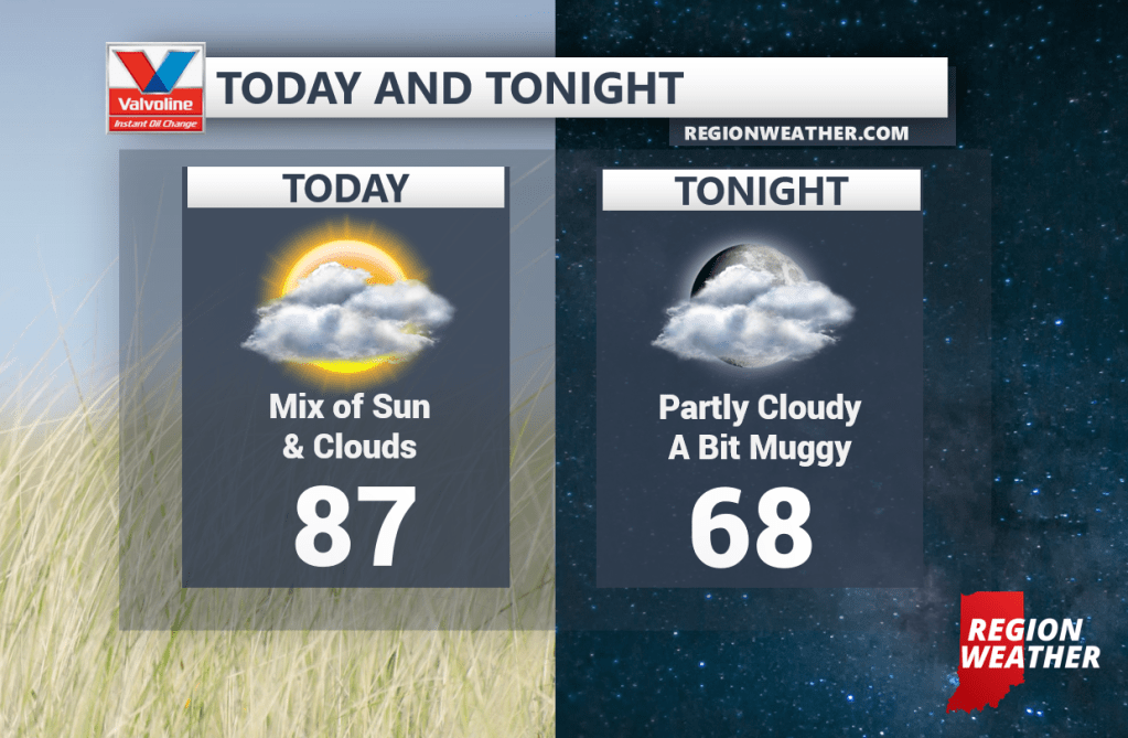
We’re back into the warmth today and tomorrow with highs expected to reach into the upper 80s out ahead of our next front. This front will finally clear this airmass out that much of the eastern US has been stuck with for the better half of a week now!
As a result, things will get flowing again. The cold front will move through Tuesday into Wednesday bringing some shower and storm chances. On the heels of this cold front will be another storm system that looks to bring cooler air to the Region late this week into the weekend! Highs may struggle to get into the 60s Friday and Saturday depending on where the low pressure goes. Stay tuned!