
Good news everyone! We’ve been watching the Wednesday night into Thursday storm track further and further southeast with each guidance run and as we mentioned briefly in our Region Weather LIVE broadcast, it looks to be a non-event for us in the Region with just some scattered snow.
Let’s take a look:
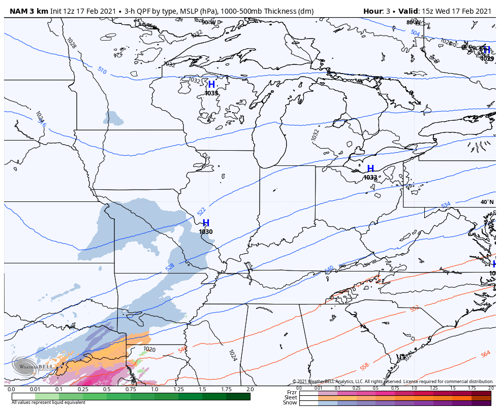
This storm never has a tight, compact low pressure–it stays an “open wave” and just floats along the jetstream. The resulting precip will be “banded” in nature with the bulk of it staying well south of the Region.
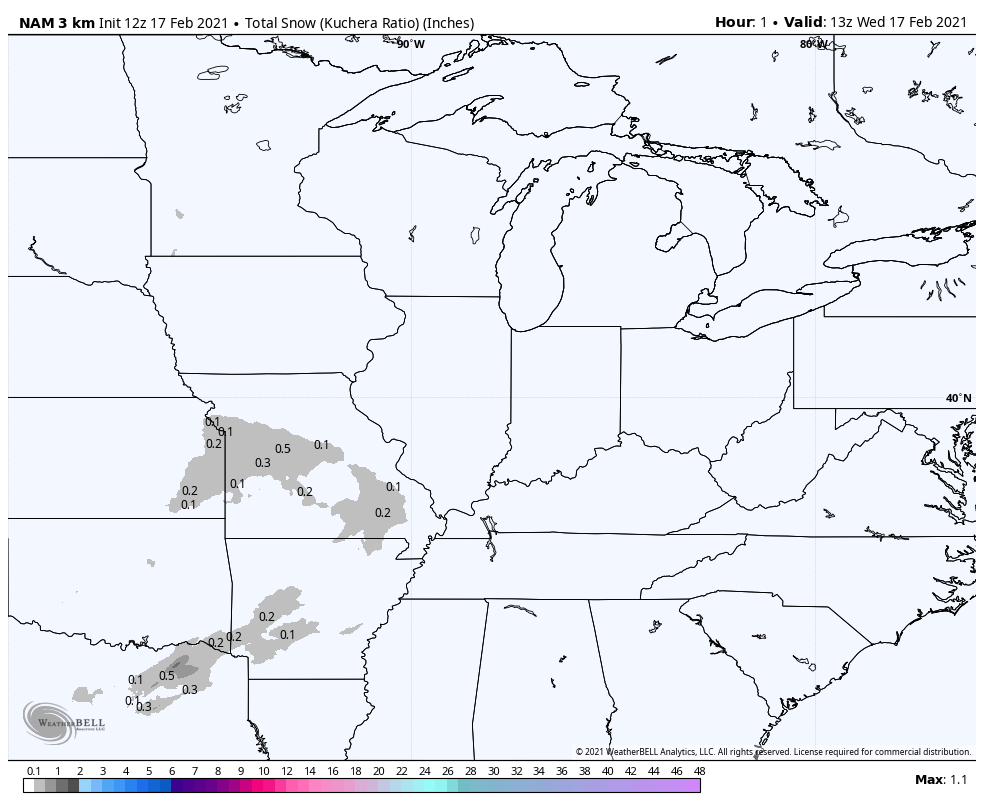
We will likely see a few snow showers late Wednesday with scattered snow around the state Thursday. We’ll also have to watch for some brief lake effect to develop on the backside of this storm Thursday night into early Friday.
In terms of accumulation, don’t expect much at all. This is good news for our area sideroads which will continue to improve over the next few days.
Our next storm system to watch will arrive this weekend with the potential for some brief snow (and maybe a rain mix, but we’re leaning snow). We’ll chat about that in the days to come.
