
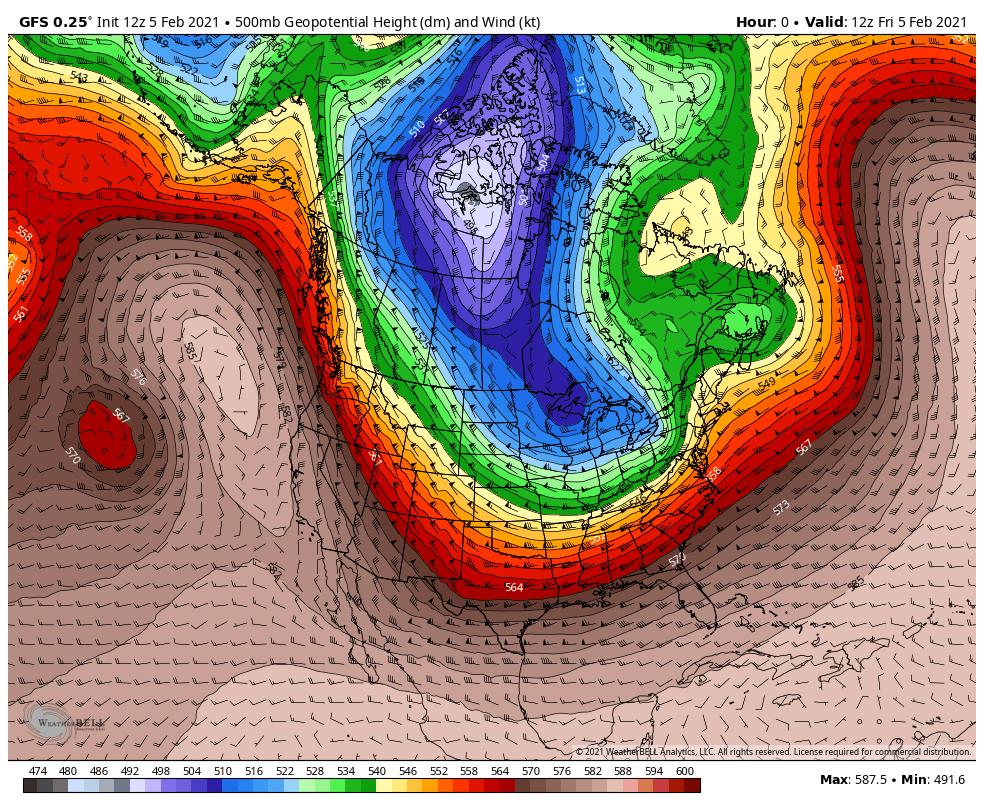
Settle in everyone, the cold is here to stay for awhile. The flow will remain straight out of Canada through at least NEXT weekend. The flow in Canada is out of the Arctic Circle. It all comes together to deliver us several reinforcing shots of arctic air over the next 6-10 days. Watch the current lobe of the polar vortex (purples) circulate over the Great Lakes through next week before pushing out:
SNOWY PATTERN
We’ll also be on the southern fringe of the northern jetstream which will help to bring several quick-moving storm systems through the Region. Arctic air isn’t anything like air from the Gulf of Mexico–it lacks moisture. So while we’ll be cold enough for some quick shots at fluffy snow, the heavy, wet, snowman-making snow won’t be around for awhile. Notice how we’re right in the storm track with several rounds of snow that could add up through next week:
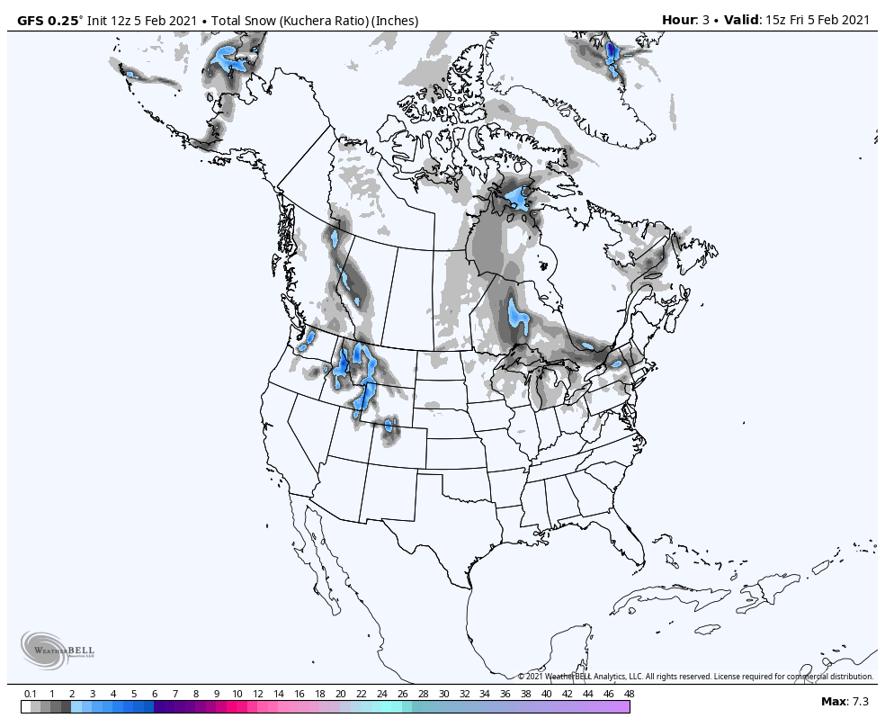
SNOW TIMELINE
Our first shot at some fluffy snow arrives later Saturday into early Sunday.
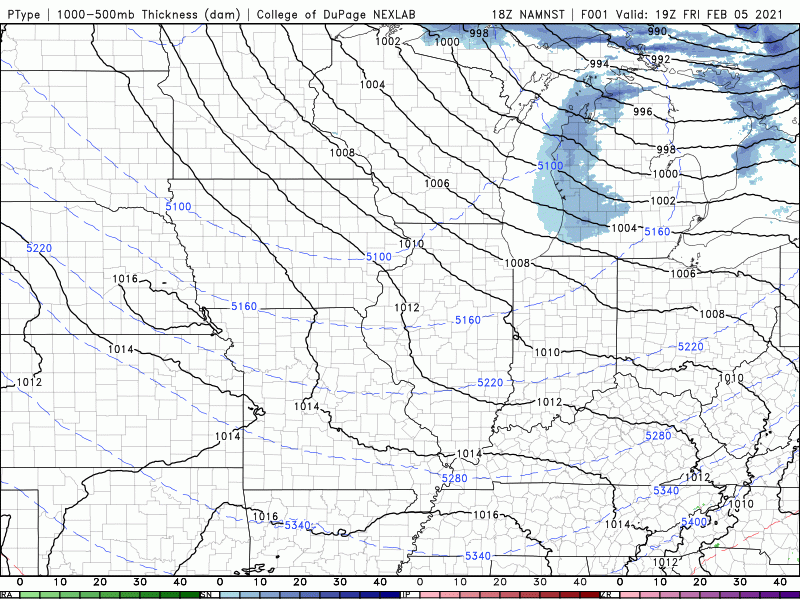
It would be a quick-hit of a few inches. We’ll likely fall in the 1-3 inch range of fluffy flakes.
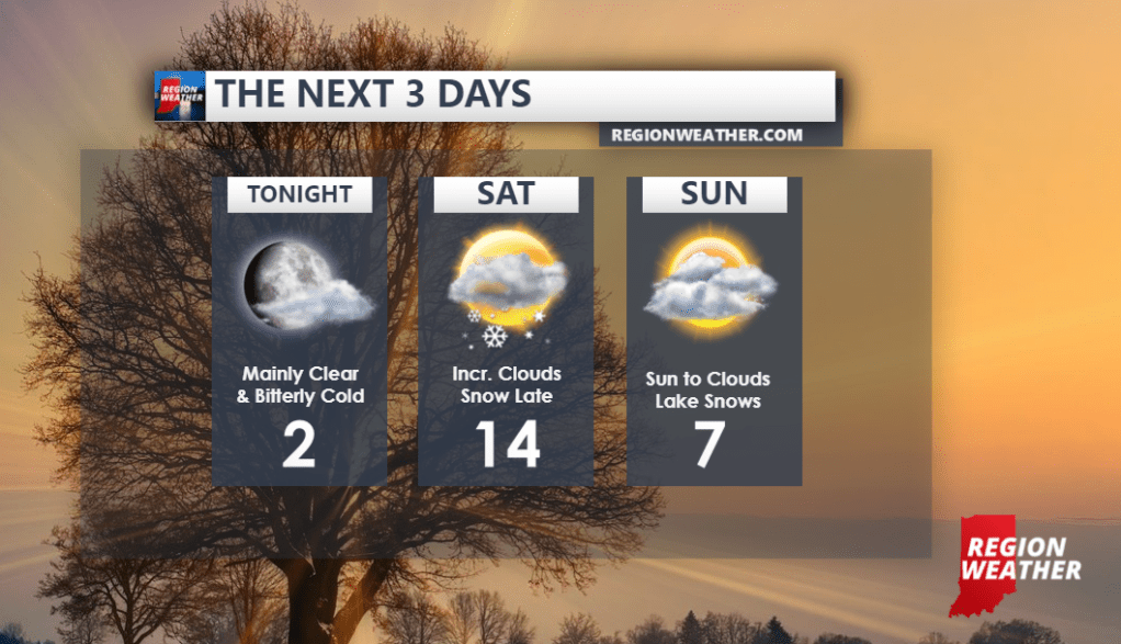
Thereafter we’ll watch for some snow chances Monday and again on Tuesday and then attention will turn towards something bigger that could be brewing later next week. We’ll keep you up to speed on each of those as they approach! Here’s a look at our weekend forecast:
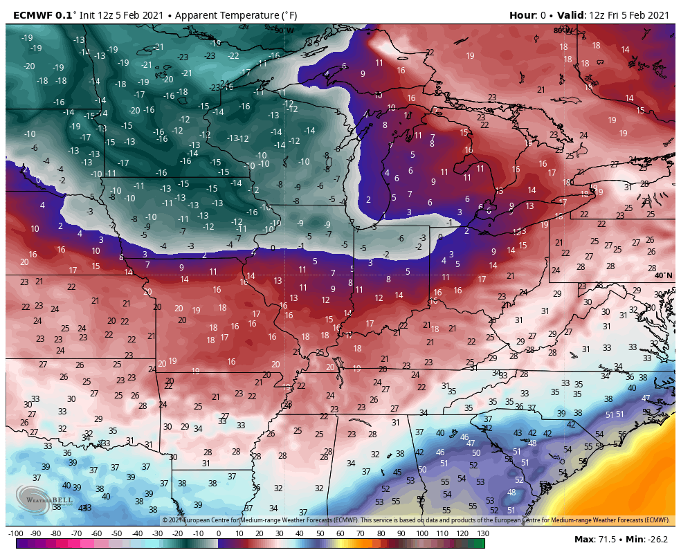
BITTER COLD AIR
The biggest impact locally will be the cold temps and bitter cold windchills. While we’re likely remain below freezing all the way through next weekend, there are several periods of time when the wind and cold temps will combine to produce dangerously cold wind chills. Here’s a look at the feels like temp forecast through next week:
Best to stay inside and keep warm if you can–but if you do have to head out and about, take the cold seriously and bundle up. Spring will be here before we know it!
