
But this one’s different. All joking aside, if you joined any of our Region Weather Live broadcasts last week, we discussed how that last storm system was weakening as it moved through. This storm will be quite the opposite, so we’ll be dealing with a much different low pressure. If you’ve been around here long enough…the track of the low is everything.
THE BIG PICTURE:
A powerful storm that brought flooding, high winds, and several feet of snow to the mountains of California will transition east and emerge in the central Plains during the day Saturday. A low pressure center will then strengthen and head towards the Region bringing an expansive area of rain, mix, and snow to the Ohio Valley.
So where does that low look to go right now and what about timing and potential impacts to the Region?
SNOW LOVER?
You want a LOW THAT GOES FURTHER SOUTH like
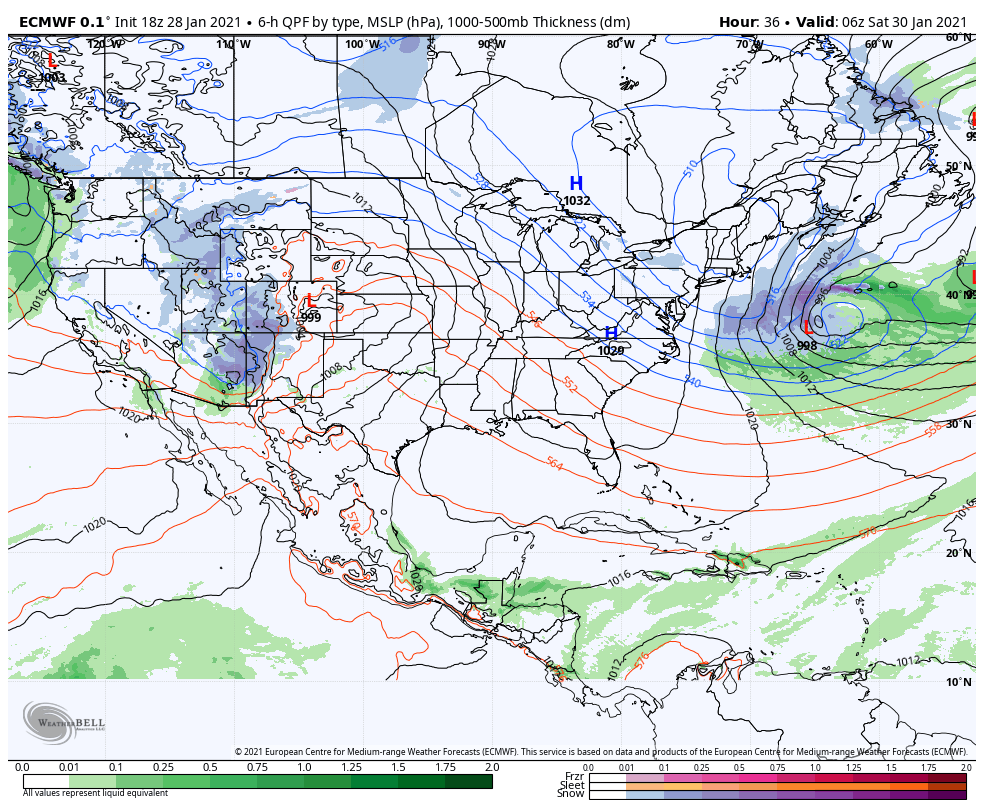
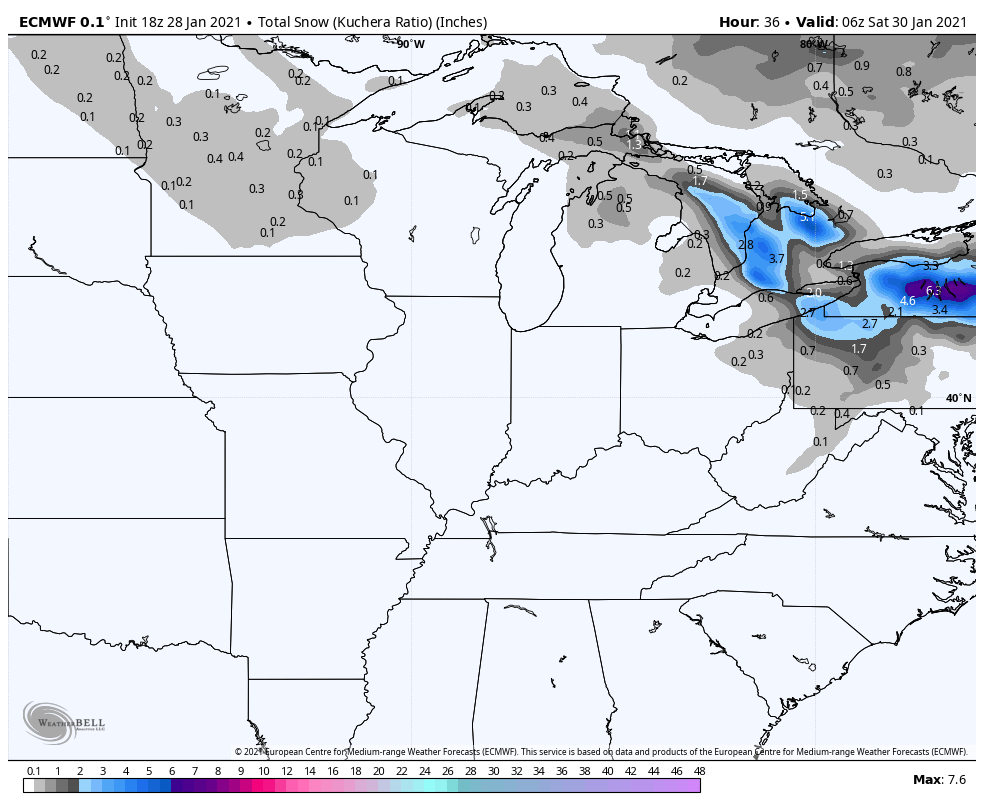
The Euro:
Resulting snow potential:
LOVE RAIN AND MELTING SNOW?
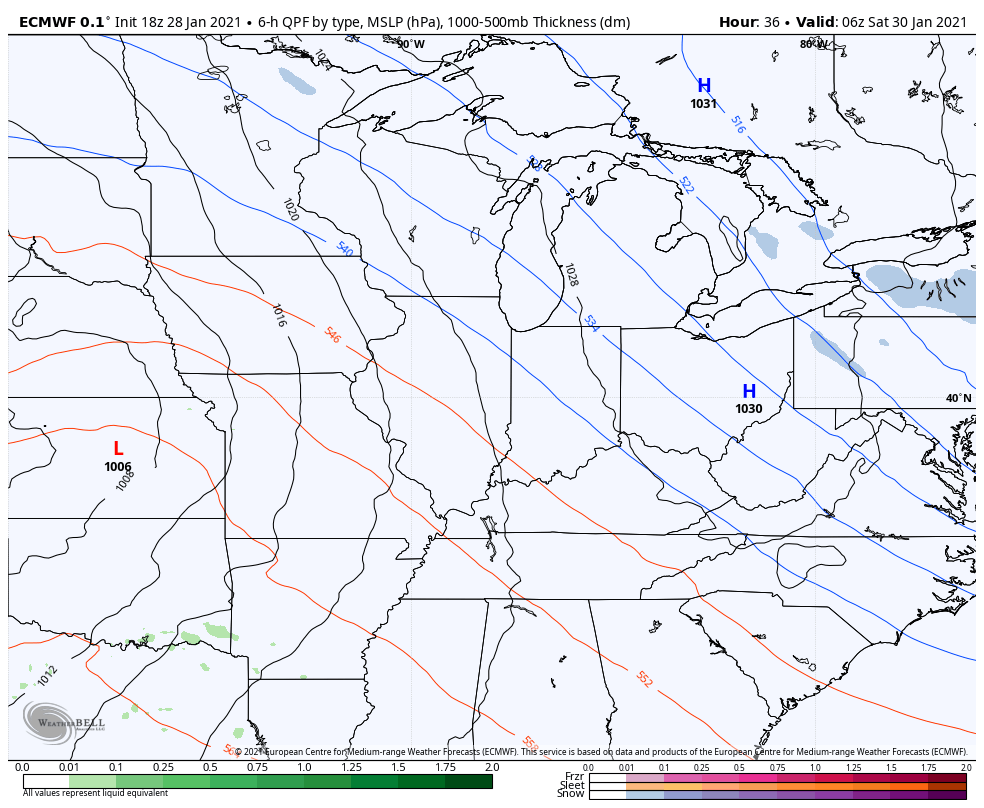
You want a LOW THAT GOES FURTHER NORTH like
The GFS:
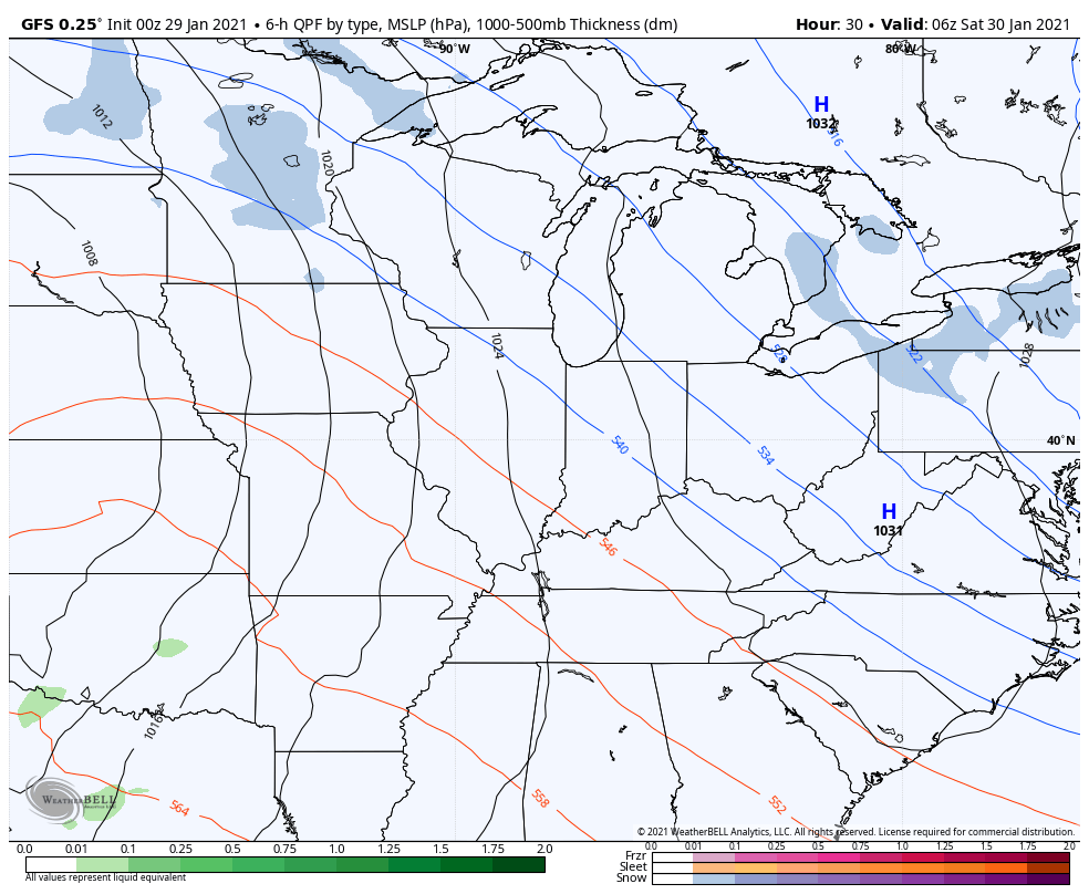
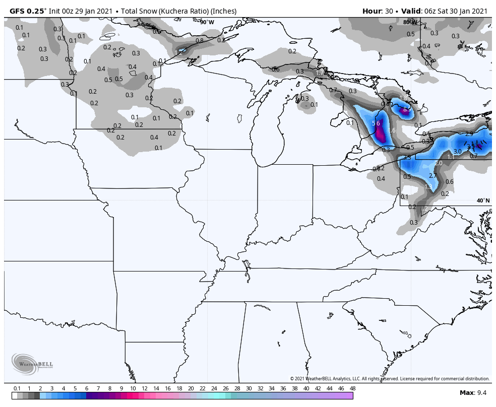
The resulting potential snow:
Canadian model for the tie anyone?
We peeked. It has a snowy solution like the Euro. Of course it does.
WHAT WE DO KNOW ABOUT HOW THIS WILL GO:
Snow will move in Saturday afternoon into Saturday evening from the southwest and it’ll likely be on the moderate to heavy side. Saturday evening looks snowy.
Several inches of snow are possible out of this round.
Then enters the question–just how much warm air works into this system Saturday night into Sunday? Is it enough to change us over to a mix and even rain Sunday? Or do we stay snow the entire time with a general steady snow Sunday?
That’s the difference in this one right now and we’ll have a better idea hopefully tomorrow.
KEY TAKEAWAYS:
- A strong storm system will move through the Region Saturday and Sunday
2. A period of heavier snow is possible Saturday afternoon and evening
3. Differences in guidance on what happens Sunday–do we stay all snow or have enough warm air aloft to change over to rain?
We’ll have our next update for you Friday!
