
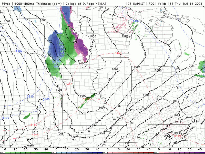
The storm system we’ve seemingly been talking about for a week is finally approaching from the west and is coming in with some very strong winds across the central and northern Plains. High Wind Warnings and Blizzard Warnings are in effect for a good portion of Iowa, Minnesota, Nebraska, and South Dakota.
It’s an impressive looking storm system! Take a look:
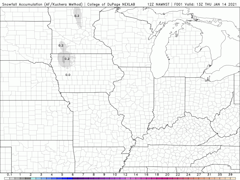
For us, the strongest winds will stay west of us as this low wraps up but the precip will begin to move in later today. We’ll start with some rain that will begin to mix with and change over to wet snow tonight. As the cold front moves through, we’ll likely see a break in the action overnight before we turn to on and off snow showers during the day Friday.
We’re still not expecting a lot of snow with this–a coating to an inch or so–just enough to remind us it’s still January as the heaviest snows will fall west and north of us.
More importantly, this will kick off our pattern change that will keep us locked into the colder air and bring additional storm chances our way over the upcoming days. We’ll discuss in a Facebook Post this evening. Join us!
