
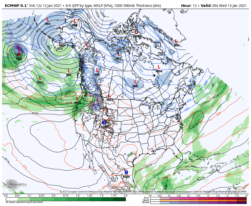
The Pacific Northwest is getting hit hard right now with days of heavy rain, heavy mountain snow (over 100 inches in spots) and strong winds. An “atmospheric river” of moisture stretching some 2500 miles out into the Pacific Ocean is aimed right at them right now.
All of this will translate east and spin up our anticipated storm system that will bring that pattern change our way Thursday into Friday.
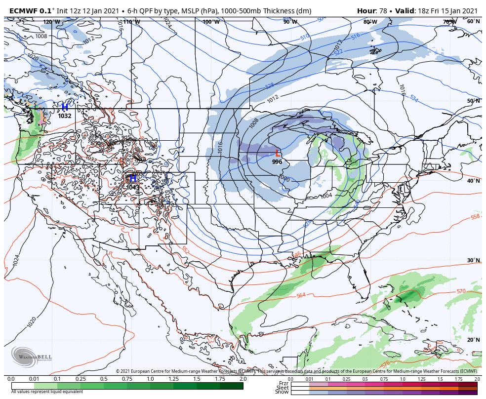
We’ll likely see rain showers develop Thursday and transition to rain/snow and eventually all snow by Thursday night. Snow showers will continue on and off through Friday as the system wraps up right over us.
This system will be a wind-maker as well, but the strongest winds look to stay west of us out in the central and northern Plains. Locally, we’re expecting rather minimal impacts from this one as we fall in a nice spot on the weather map in relation to this storm.
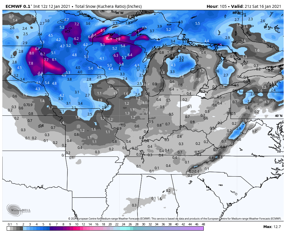
In terms of snowfall, we’re expecting some light accumulations, but nothing particularly noteworthy. As we mentioned a few days ago, we’ll have to watch some of the lake effect with the series of systems moving through over the weekend, but the system itself won’t produce any big snows as it’ll lack that connection with the Gulf of Mexico.
Here’s what the Euro is thinking:
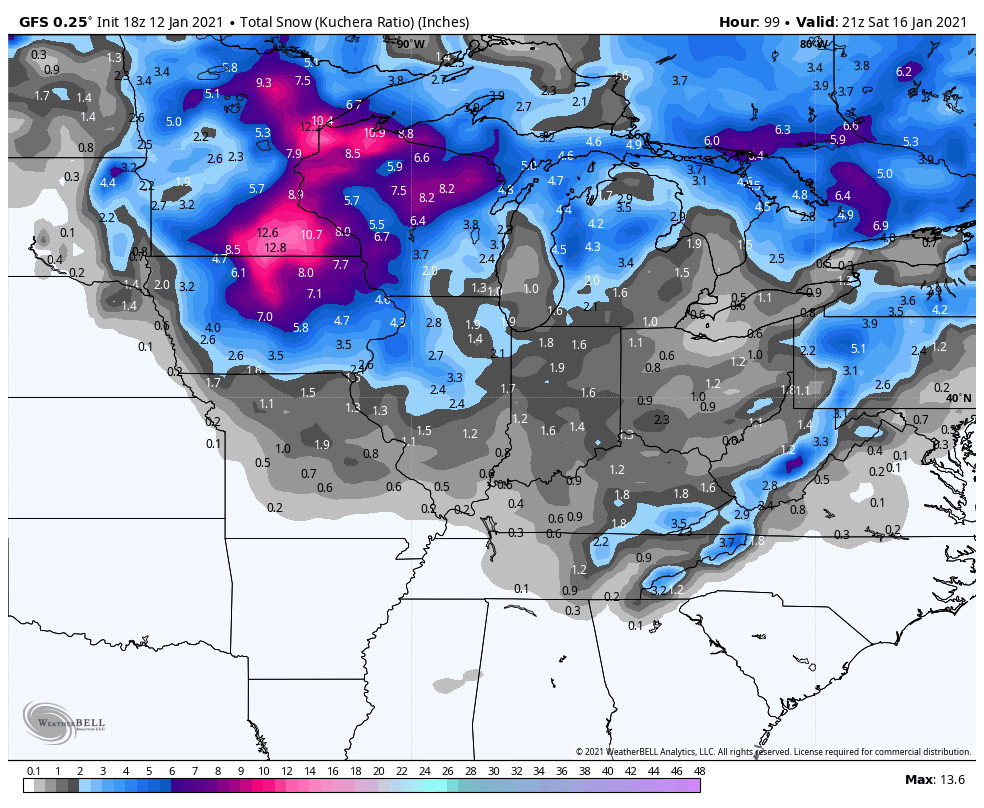
And the GFS:
We WILL turn colder behind the system and that pattern change will be one that will keep us in the cold air for the foreseeable future with highs in the 20s and 30s with periodic chances for snow.
