Our storm system continues to move towards the Region today and our going forecast from yesterday still looks on track. We’ll likely see a quick burst of snow (not all of us) later this afternoon and then we turn towards our expected brief window of freezing rain and sleet late this evening into the early morning hours Wednesday. By daybreak Wednesday, we should be warm enough for ALL rain and travel issues are not anticipated other than wet roadways.
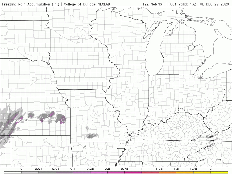
Here’s a look at the potential ice accumulation with this storm–the biggest impacts will be in northern Illinois with some minor icing in the Region. Again, we’re expecting this to occur during the very early morning hours Wednesday before everything melts.