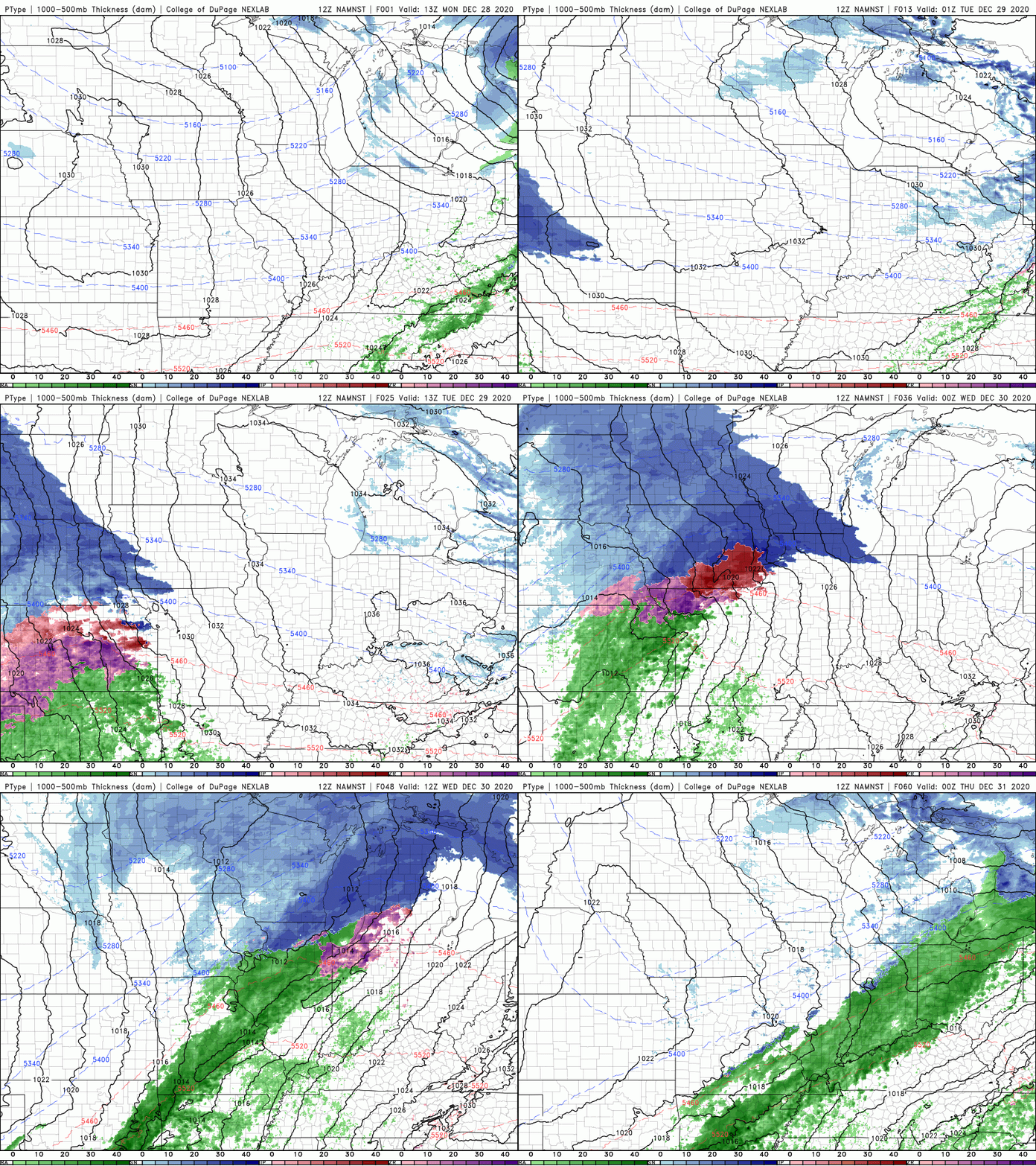
Naturally, 2020 would go out with a bang weather-wise as a large storm system will affect nearly the entire US this week bringing severe storms, flooding, icy weather, and a snowstorm on the northern side. Typical. It’s not all bad though as the storm system is currently bringing MUCH needed rain and mountain snow to southern California and will progress through the exceptionally drought-stricken 4-corners region into the southern Rockies.
For us here in the Region, we’ll see all precip types with rain, some ice, and some snow, but none of it looks particularly terrible, just more of a nuisance. The forecast is very tricky, but we think we have a good handle on it. Here’s how it should play out.

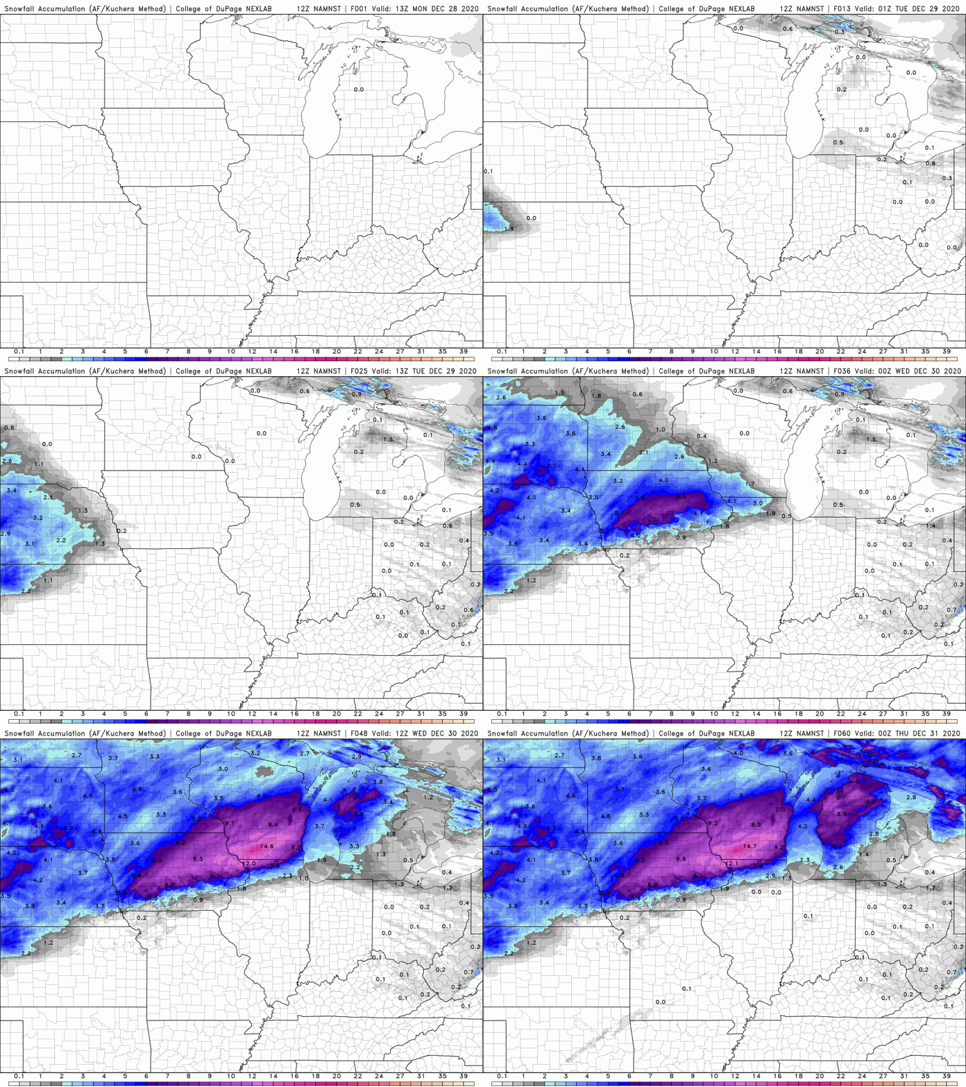
It all begins late Tuesday for us with perhaps a brief period of large, wet snowflakes. That will quickly come to an end and we’ll transition to a scattered mix of freezing rain and sleet Tuesday night into early Wednesday morning. We could certainly see some slick spots develop, especially on untreated surfaces. The good news with this storm is that we’ll quickly jump into warmer air on Wednesday and become all rain–so any ice problems would be confined to the early morning hours only. Our rain will change back to some snow showers before this part of the storm wraps up later Wednesday. Accumulations look light in terms of the snow at the end.
TIMELINE RECAP
Tuesday PM: Brief snow possible
Tuesday night-Early Wednesday: Freezing rain/Sleet possible
Wednesday morning-afternoon: Showers
Later Wednesday: Showers to snow showers
We’ll escape another decent storm–but this time the Midwest and northern Illinois likely won’t where up to a foot of snow could fall with this one.

We won’t be done with this storm after that, however, as another wave of low pressure will move up the Missouri Valley towards us on New Year’s Eve and New Year’s Day with another load of moisture and mixed precip. As of now (and this part could certainly change), we’re on the warm side of this and it looks to be mainly rain, but we’ll be watching this next wave closely over the upcoming days!
