
Our advertised cold front is marching its way towards the Region and we’ve already seen the increase in clouds. A sharp line of showers and storms will develop later today to our west and will work from west to east through NWI later this evening. Our primary threat is for pockets of damaging winds. There IS a tornado threat, but we think that’ll stay west of us. Here are the main weather impacts to NW Indiana from today’s setup:
WINDY DAY
Non-thunderstorm winds will gust over 40 mph at times later today as the front approaches
STRONG WIND POTENTIAL
The line of showers and storms will likely produce a quick-hit of strong winds and heavy downpours as it passes
TEMP DROP TONIGHT
Temps will drop off quickly behind the front and we’ll be in the mid 30s tomorrow morning
TIMING
We may see some showers develop out ahead of the main line late this afternoon into the early evening, but we’re expecting the main line of gusty storms to move into NWI sometime between 7pm and 8pm and move rapidly from west to east.
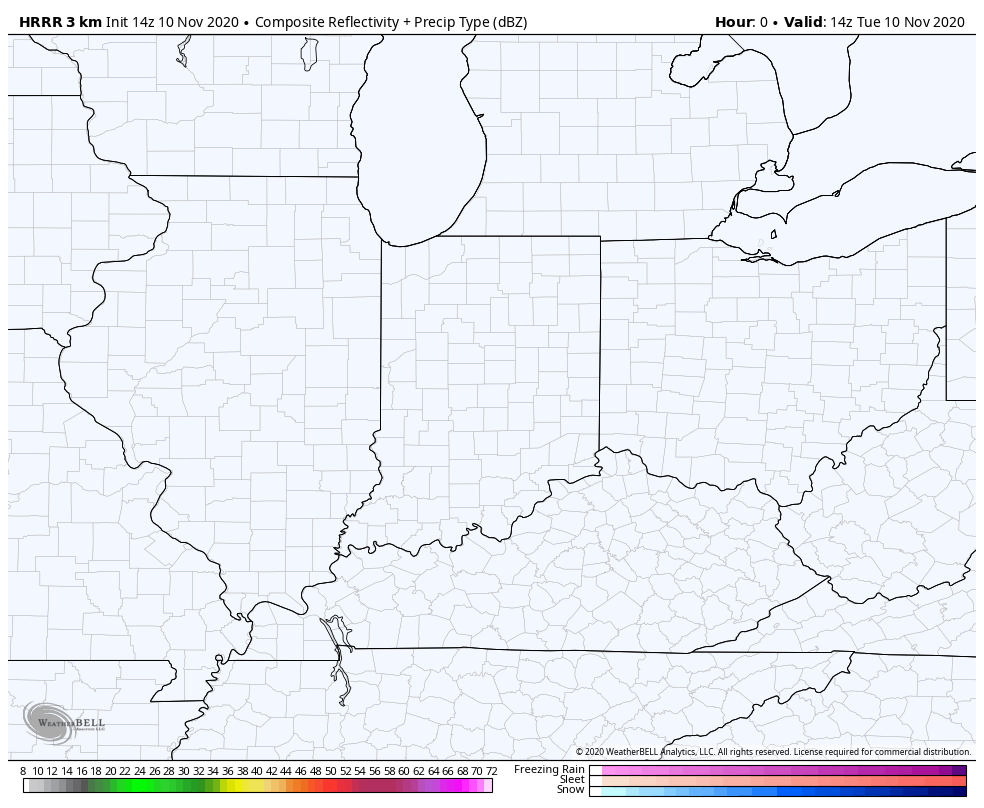
Here’s a look at what the radar will likely look like:
We’ll be here for updates as needed on our Facebook Page found HERE. Enjoy the last day of warmth everyone!
