
Hurricane Zeta will make landfall later today in Louisiana and will quickly race northeast through Georgia tonight. At the same time, that area of low pressure responsible for the record cold and snow in the Rockies and ice storm in Oklahoma will head northeast towards the Ohio Valley.
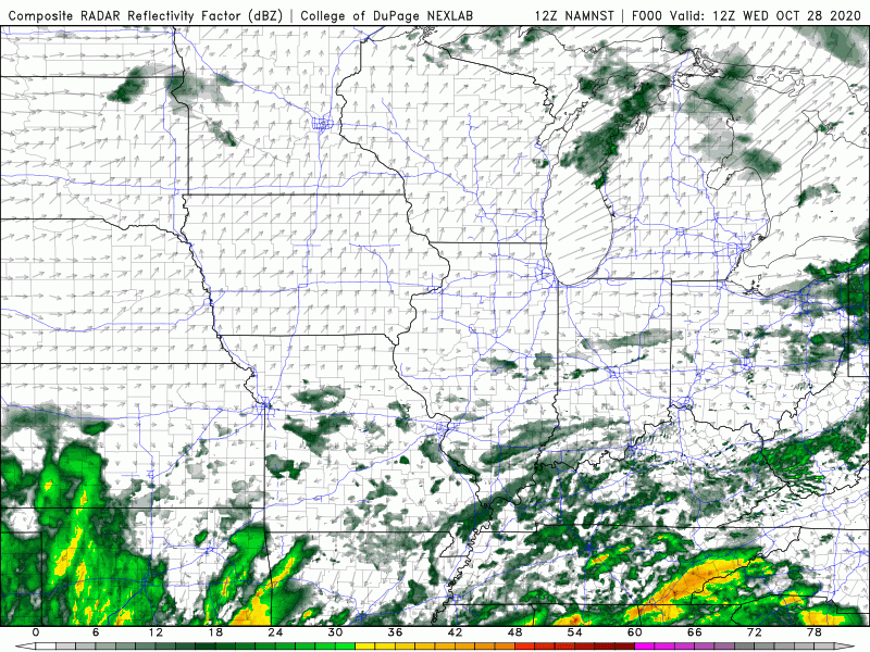
The result will be an expansive area of rain for much of the eastern US. Locally, we’ll see high pressure building in from the north that will help keep the bulk of the rain out of the Region, but we’ll see the northern periphery move close to us, potentially bringing some rain tonight and tomorrow with highest chances in Newton and Jasper counties.
Behind this system we drag in a batch of cold air with lake effect showers likely that would last into Friday as temps cool.
