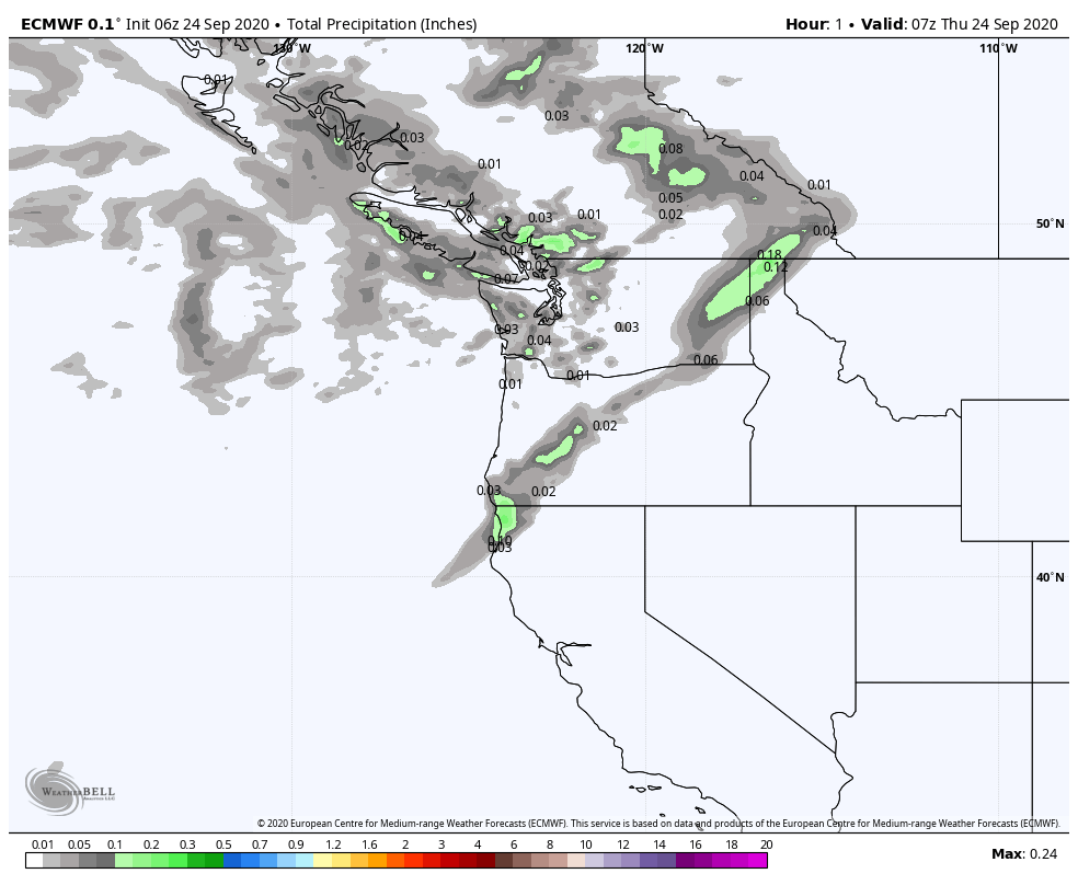
A large, 2000 mile-wide storm system is slamming into the Pacific Northwest that will serve to disrupt the weather pattern across the United States…but it’ll take a few days.
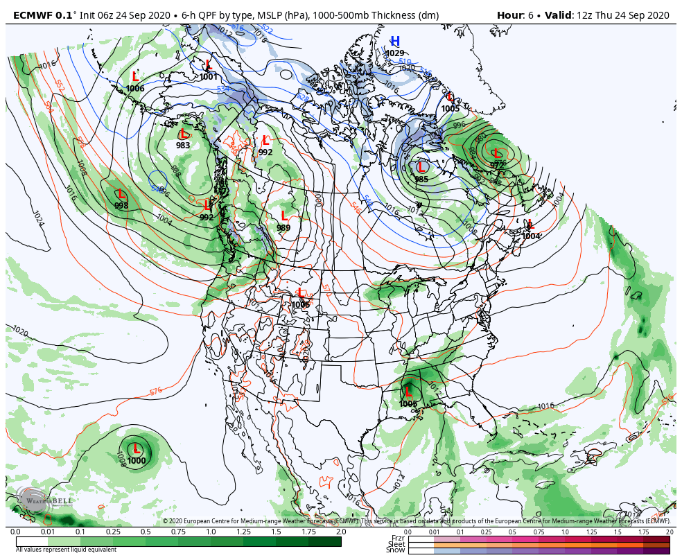
This storm will bring beneficial rain and moisture to Washington and Oregon, helping to negate the on-going fires and the fire danger in that portion of the country. California and other areas of the west won’t see much relief from this one.
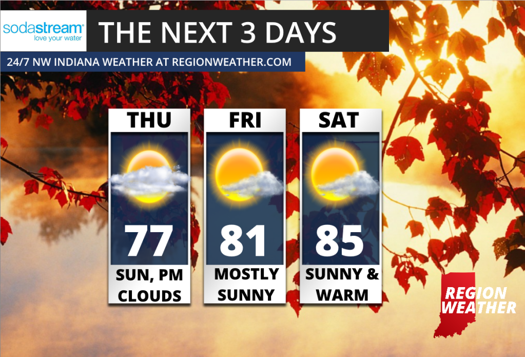
This same system will eventually develop a large ridge out west bringing another prolonged period of dry weather. How does this all impact us? That ridge in the west will develop a huge trough in the eastern US (like a teeter-totter) bringing our advertised dose of FALL next week that we discussed a few days ago. Highs will struggle to get out of the 50s with periodic showers as the cool air really settles in by the middle of the week. Until then, we have a nice warm up the next few days. Here’s your forecast!