
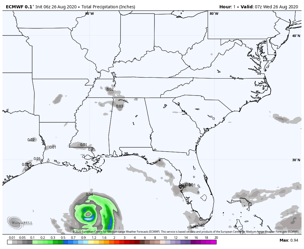
Laura is a major hurricane and will make landfall later today into tonight bringing an impressive storm surge of 14-20 feet:

Powerful hurricane-force winds over 170 mph at times:

and flooding to not just coastal regions, but well inland as the system moves quickly to the northwest:
Laura increased rapidly last night (as expected) with little in the way of wind shear and warm Gulf waters helping to create prime conditions for hurricane intensification. As the sun rose this morning, the satellite revealed a well-established eye and a very organized storm.

Landfall will occur right around the Texas/Louisiana border with the most intense conditions just to the east and northeast of where the center is located.

The remnants will then head north and eventually east as a cold front that moves through the Region Friday into Saturday helps steer any impacts from Laura away from our area!
