
We’re already seeing breaking news coverage of the tropical activity in the Gulf as not one, but two tropical systems have “cones” from the National Hurricane Center that overlap. If you’ve been with us at Region Weather for awhile, you’ve hopefully learned that we’re not about hype.
Hype is there for ratings and clicks that yield profits. While public safety is usually one of the goals of weather coverage, it’s rarely at the forefront. Here’s and example of a chaotic map (courtesy the Weather Channel) that you’re probably seeing this morning:
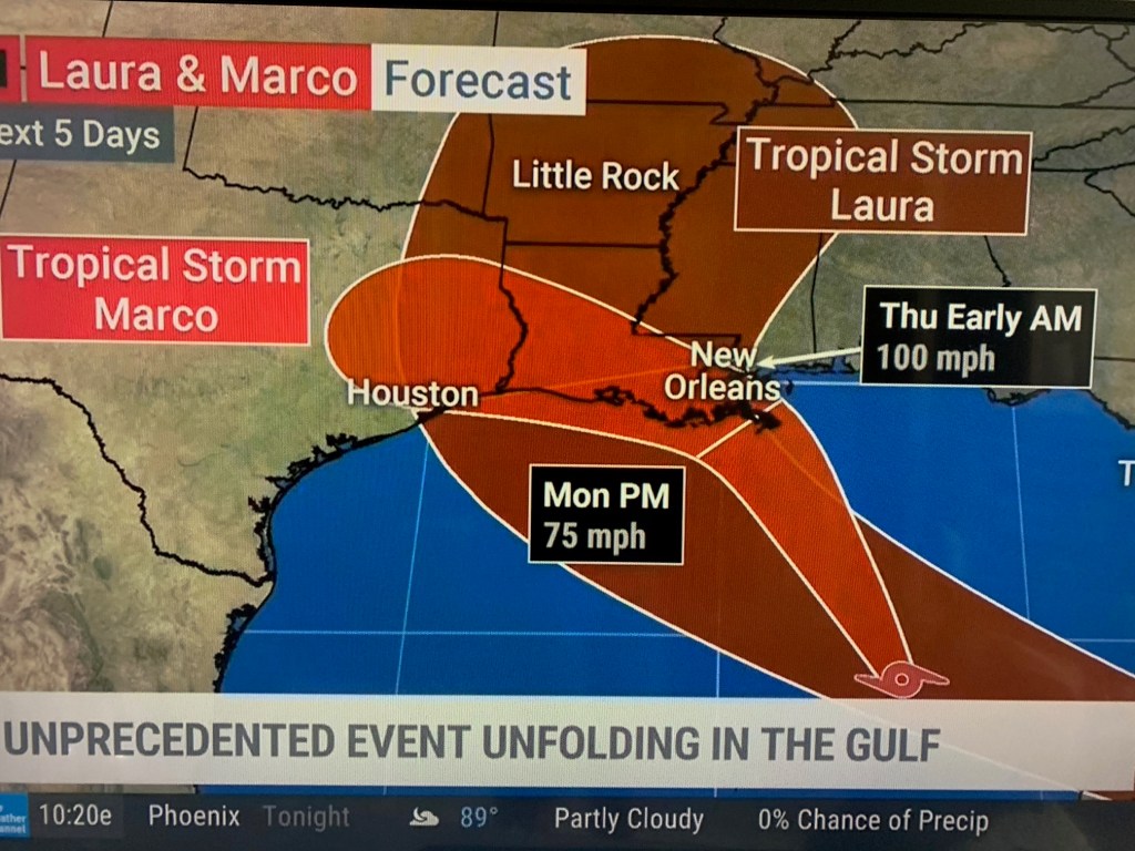
We don’t care about hype–we care about accurate information that “keeps things real”. So what’s the deal with the tropical storms (likely soon to both be hurricanes) in the Gulf?
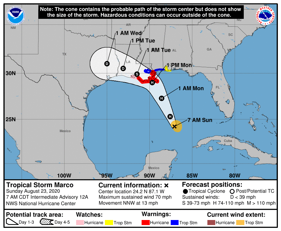
Let’s break it down. First, there’s Marco. Marco is a relatively smaller storm, but will likely ramp up to a hurricane sometime Sunday into early Monday. Marco will then head inland and curve west along the coast of Louisiana into Texas bringing storm surge, strong winds, and very heavy rain before quickly dissipating. Here’s the predicted path from the NHC as of Sunday morning:
Marco isn’t alone in the Gulf as Tropical Storm Laura (soon to be a hurricane once it gets away from land) continues to spin into warmer, tropical waters. Laura is likely to be a doozy as it’s maintained good organization over the Dominican Republic over the last 12 hours. With warm, open waters and very little in the way of wind shear (at least initially), Laura will likely strengthen into a powerful hurricane Tuesday-Wednesday. The path from the NHC as of Sunday morning:

While the “cones” of these two storms overlap, they will NOT make landfall at the same time, or even close. Marco is expected to come ashore by Monday evening. Laura won’t approach the Gulf Coast until sometime late Wednesday into Thursday. Yes, these storms are historic in that their 5 day forecast tracks overlap–and yes, it’s a big deal that the same locations will see tropical systems (likely hurricanes) over the course of a few days–but it’s not a chaotic, breaking news mess that’s being portrayed on social media (and to a lesser extend on tv).
Tropical storms and hurricanes are already enough of a big deal for our friends and family that reside or have winter homes along the Gulf coast as the tropics are always on the mind this time of year. Here’s the potential track and timing of both systems:
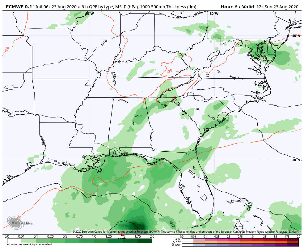
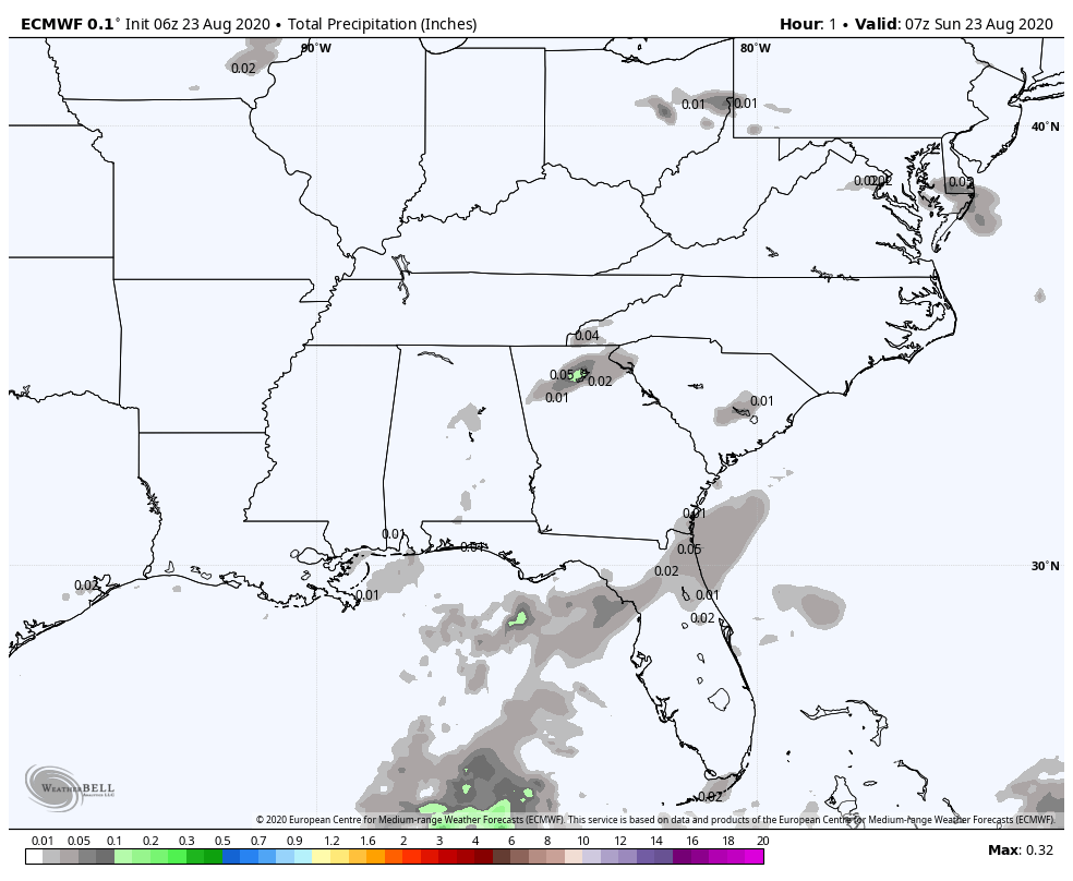
One of the big impacts, regardless of storm strength, will be the heavy, flooding rains.
We have a long way to go this hurricane season as the peak is usually between September 10-14 with storms still possible in October and November. This will be another bump in the road in what could be a busy rest of the season.
