
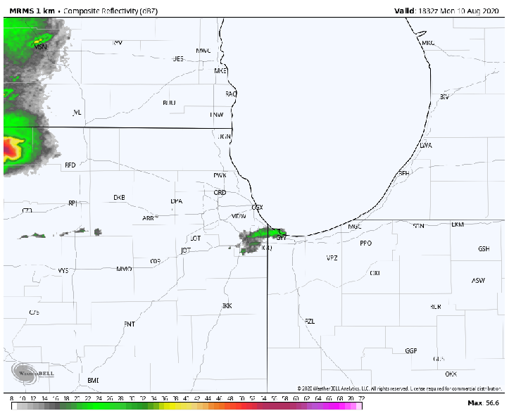
Our anticipated line of severe storms producing damaging winds plowed through the Region this afternoon bringing widespread wind damage in its path. Here is the updated list of severe weather reports and pictures from our Region Weather community. Here’s a radar recap of these storms as the derecho as it moves into and out of the Region:
UPDATED STORM DAMAGE REPORTS
PORTAGE
Spotters report a 10 inch diameter branch down on Lute Road in Portage
Faith shared this picture as the storms were moving in:
Jena shared this photo of wind damage in the Valparaiso/Portage area:
CEDAR LAKE
6 inch diameter tree down near Parrish Avenue and 141st Avenue
Jeff shared this picture with us in Cedar Lake on Fairbanks by MacArthur School:
PORTAGE
Damage to the roof of a strip mall along Central Avenue in Portage
KENTLAND
Private weather station observed a 73 mph and a 66 mph wind gust just west of Kentland
Abbagale shared this picture as the storms were approaching:
KENTLAND
30 by 50 foot corn field flattened with swirling denoted in cornfall. Also, metal sheds damaged with parts of roofing and doors missing. No major structural damage was noted to farm houses in the area. Potential tornado.
VALPARAISO
Four 8 to 10 inch diameter trees snapped
Janice sent this picture in as the storms approached in Valparaiso:
HASKELL
Large trees and limbs down
KOUTS
70 mph winds reported
WHEELER
Numerous downed trees and a trampoline thrown across a yard
CROWN POINT
Large tree snapped
MOROCCO
A brick chimney blown down with multiple tree limbs also down
ST JOHN
Several trees snapped
Carol sent us this picture of power lines down after the storm:
VALPARAISO
Semi blown over near Valparaiso
Janice sent this picture in as the storms were approaching from the west:
