A frontal boundary will sag south and stall right across the Region later today and will help spark a few showers and storms. The best shot at storms will be along our lakeshore counties (Lake, Porter, and La Porte) as the frontal boundary will be stretched from Chicago out over the lake for much of the day. Not expecting widespread storm development, but if we can spark a storm or two later today, more will likely develop around them. Here’s an example of how this might play out on radar:

Again, not a slam dunk at all that you’ll see storms where you live–but with that boundary in place and heat and humidity around, we could easily spark a few during the heating of the day.
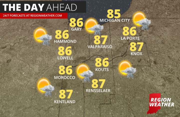
Otherwise we’ll be on the warm side of things with highs in the mid and upper 80s. That humidity is here this morning, you can feel it, and it will stick around through the evening making it feel more like the low to mid 90s at times. Here are our forecasted highs for your NWI Wednesday: