
Anywhere from 1-2 inches of rain fell last night into the early morning hours as the atmospheric river of moisture with this system moved through:
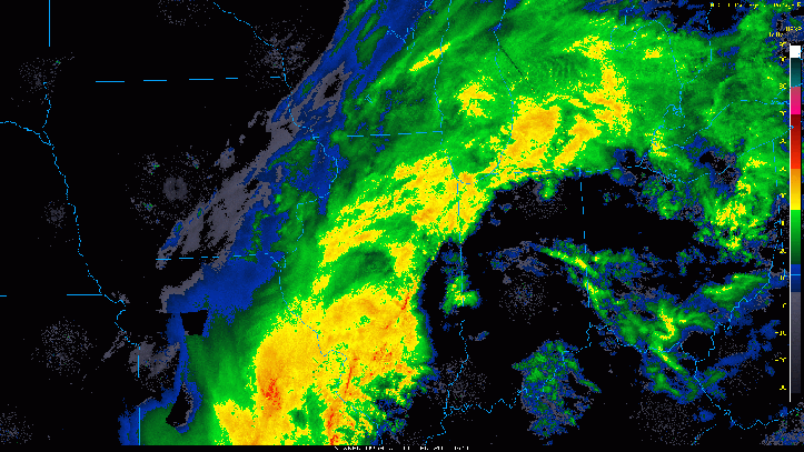
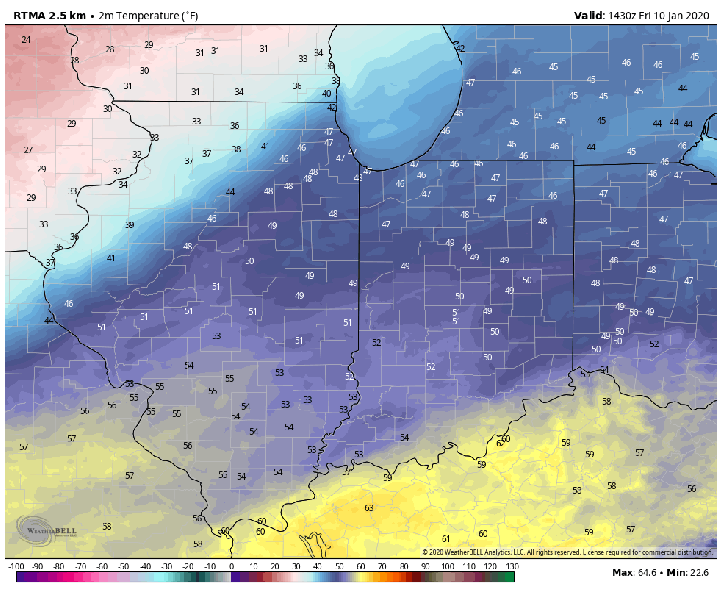
We’re on the backside now and this leftover rain will begin to mix with some sleet and wet snowflakes as we head throughout the afternoon into the evening as the cold air continues to build in. Look at how the temps held with a brief surge of warmth to our south last night–and now the drop is on. Here are the past 24 hours of temps:
From here on out, the changeover won’t be clean with sleet at times going back to rain before becoming sleet and snow. We also have pockets of drier air moving in at times so we’ll see the precip stop from time to time. Regardless, we’ll begin to mix with sleet and snowflakes throughout the day before we changeover to all snow. Here’s what it will likely look like on radar:
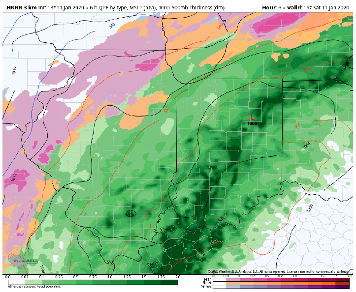
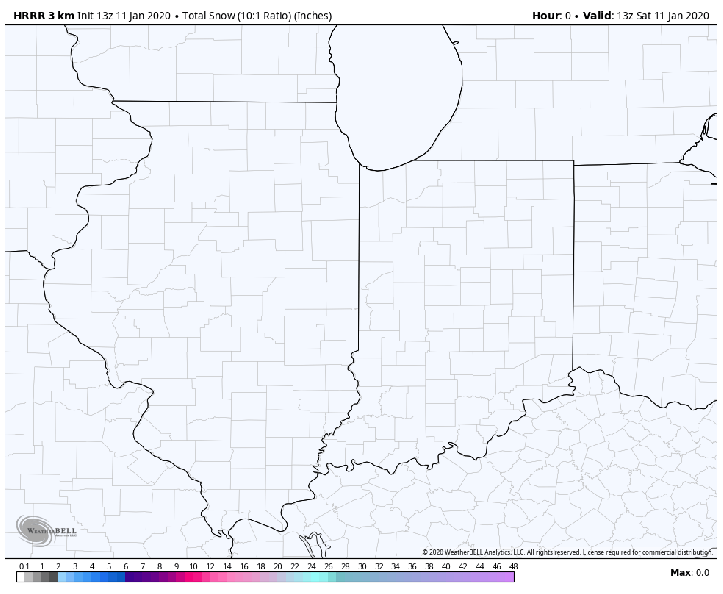
Tonight, the area of low pressure will swirl through the Region likely bringing a window of some decent snow before coming to an end Sunday morning. Accumulations won’t be impressive, but we could see a period of moderate to heavier snow move through dropping 1-2 inches, highest amounts favoring the westernmost locations in Lake County.
Winds will continue to be gusty as well until this low pressure exits well to the east Sunday morning. Winds will ease thereafter and we’ll settle down a bit–including Lake Michigan and the 10-20 foot waves!
