
As we mentioned in our last post: Accumulating Snow Sunday Night-Tuesday , the models will flip north and south with the swath of snowfall we’re expecting across the Missouri and Ohio Valleys Sunday night through Tuesday. The most recent change is a shift to the south and a storm system that now arrives in two phases…with a long break in between. It still appears likely that we may not see snow at all in portions of the Region–especially the further north you are located.
Here’s the latest model run of the Euro. Notice the two different “waves” of snow–both mainly to the south (Newton and Jasper Co)
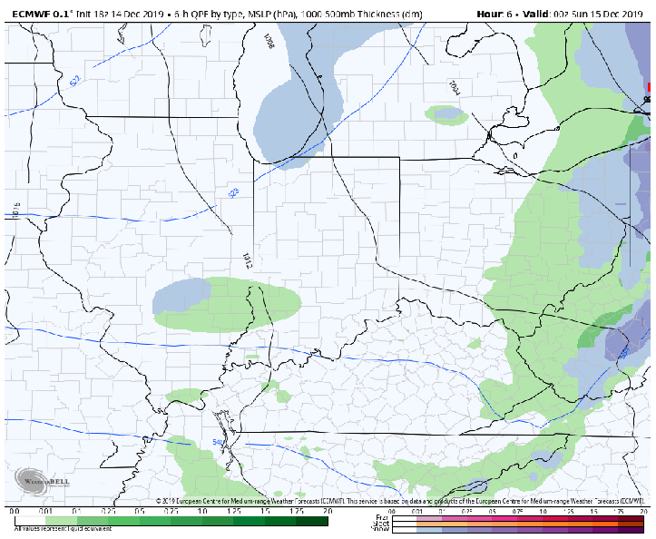
The resulting snowfall is lighter (with the break in the snow for several hours) and further south. Again, we stress all the time to take these numbers with a grain of salt. What we look for is a trend in the models…we can finetune snow total forecasts closer to the event:

The GFS is even further south with the heaviest snow–half inch at best in the Region (as of now)

Grab some popcorn, should be interesting to see how this ends up over the next 24 hours.
