
Don’t look now, but that thing the atmosphere did in November…it’s doing it again.
A large area of temps in the -20 to -40 degree range continues to build in northern Canada and through a system of low and high pressure systems, will begin it’s trip towards the lower 48 early next week.
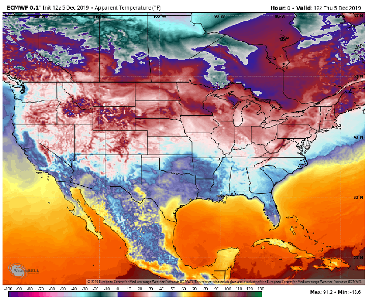
While not a direct hit, the core of the cold air will be centered over Minnesota and just north of Lake Superior–but we’ll certainly feel the arctic cold here in the Region as we’ll be on the southern flank of the coldest air:
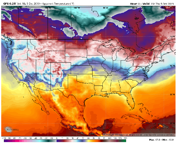
The cold air will be driven on a strong jetstream that “buckles” in the Gulf of Alaska. This will send a large ridge north in the western US. What goes up, must come down–and the arctic air will be allowed to spill into the lower 48.

In terms of snowfall, notice how the storm systems over the next 10-15 days lay down snow further and further south with each progressive system. Also notice the lake effect will be very efficient on the eastern side of the lakes:
Then there’s the GFS which paints an even snowier scene:
Time will tell, but we have to get the cold air in place first before we begin talking a winter snowpack. It looks like the first ingredient will be arriving early next week. We’ll have to see if the second follows…
