
After a quiet week of weather locally and across the majority of the Midwest, our weather pattern will perk up a bit as we head into the important travel week of Thanksgiving. Of course.
The instigator in all of this will be a system that plows into western Canada from the Gulf of Alaska. This will dislodge a chunk of cold air from Canada and send it south into the western US and Rocky Mountains:
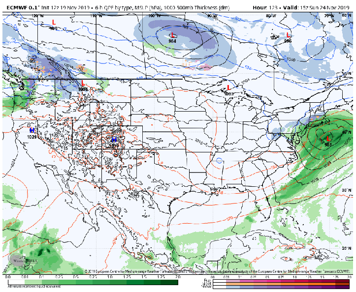
The trough, or dip in the western US will create a ridge in the eastern US which always spells S-T-O-R-M S-Y-S-T-E-M in between. Here’s an early look at the evolution and timing.
The GFS on Tuesday:
The GFS late Tuesday:
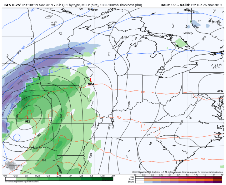
The GFS on Wednesday–big travel day!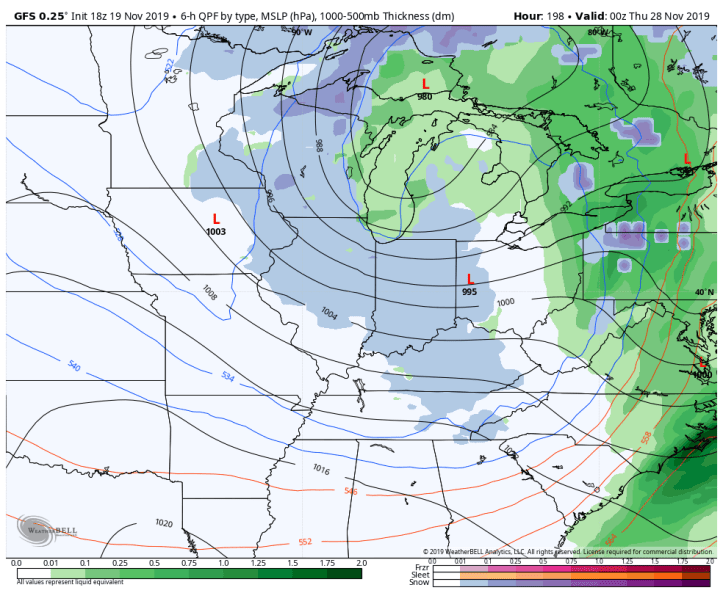
The Euro keeps us generally on the warm side of things with wind and rain before colder air moves in with some snow behind the system.
The Euro on Monday night:
The Euro on Tuesday:

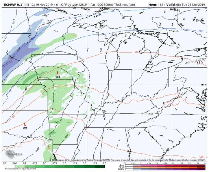
The Euro Tuesday night:

And finally the Euro Wednesday (travel day!):
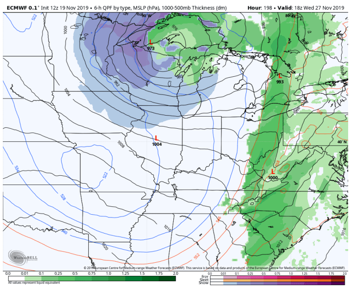
At this point it looks like a very windy storm with rain (and potentially a thunderstorm) transitioning to some snowflakes. Look at the potential wind gusts:

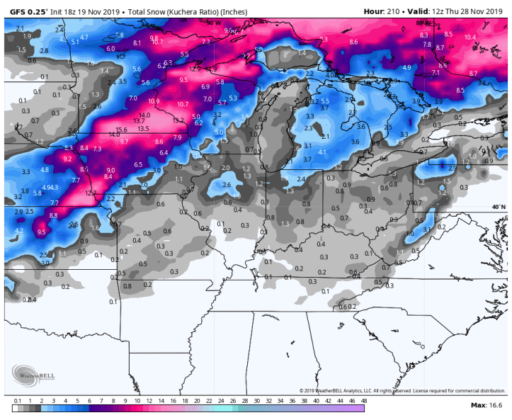
And the resulting snow. Keep in mind it’s still very early in the forecasting of this system–it’s over a week away! The track, intensity, and locations of snowfall etc will change. But a heads up a week in advance is nice!
Euro snow (heaviest snow northwest of us with more of a north/south orientation):

And the GFS snow (heaviest northwest of us with more of a northeast/southwest orientation):
This will certainly be a storm to watch. Stay tuned!
