
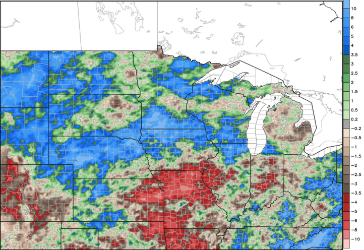
It’s no secret that we’ve been a bit dry over the last few weeks as the majority of the rainfall has set up over the upper Midwest and southeastern US. Take a look at how much rain has fallen in the last 7 days:

The majority of Lake, Porter, La Porte, and Starke Cos have been bone-dry!
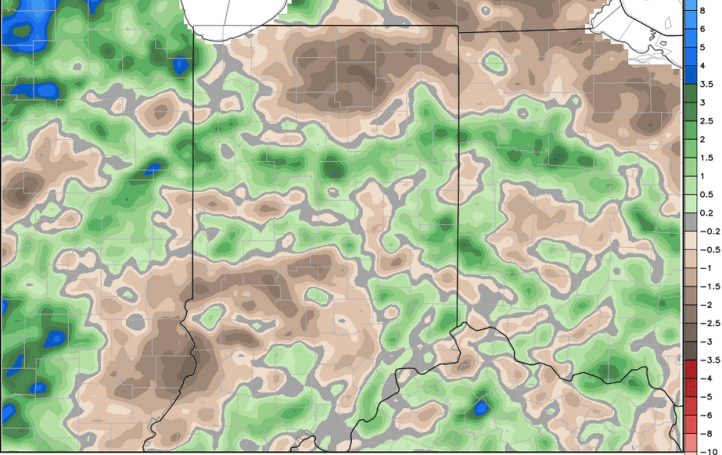
Let’s look at the last 30 days–for reference, I’ve circled the Region as it’s tough to see with the all the data. We’ve been one of the drier spots despite 3-6 inches of rain.

This may seem like a decent amount of rain, but compared to average for the last 30, much of the Hoosier state has been dry (browns=drier than average)
Here’s a look of the last 60 days compared to average. Big old dry spot across northern Indiana stretching into northern Ohio and southern Michigan. Basically it’s a dry drive along the tollroad…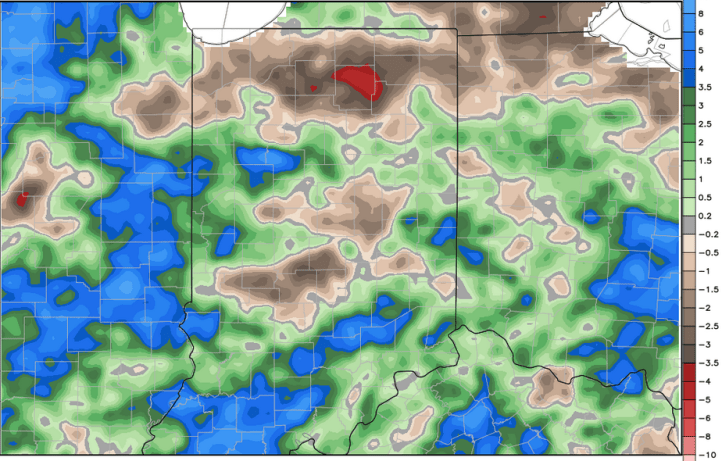
And a look at the last 90 days:
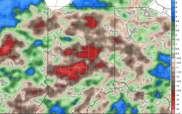
We’re not experiencing any drought conditions yet, but the drought in the southern Plains has been expanding in our direction over the last few weeks.

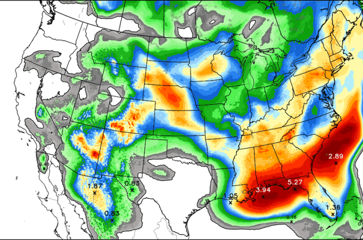
So when do we get rain? A few spots may pick up some much needed rainfall Monday with our next system sliding through–but models are indicating a several day dry stretch mid week. Late in the week an area of low pressure will likely spin its way through the Region and may bring a much needed soaking to many areas–let’s keep our fingers crossed! Here’s a look at the next 5 days worth of rainfall–subject to change if that low moves through late week as Region Weather is anticipating!
Until then, keep those gardens watered!
