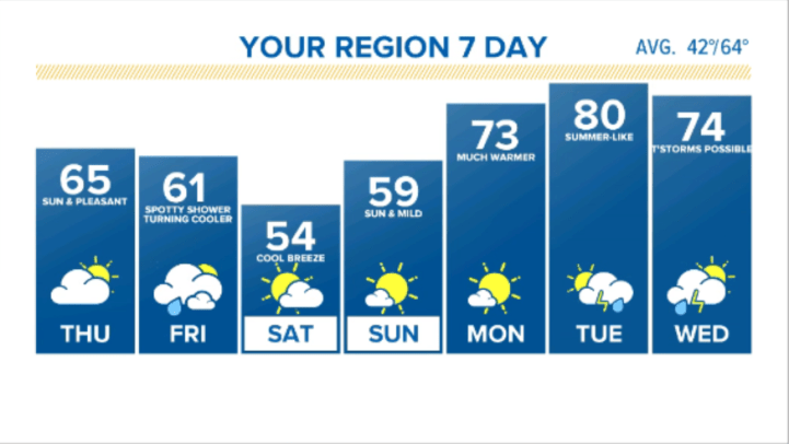
Good Wednesday morning everyone! We have a REAL NICE pattern change coming to the Region after one more hit of cooler air (that we discussed HERE last week) slated for a Friday-Sunday arrival.
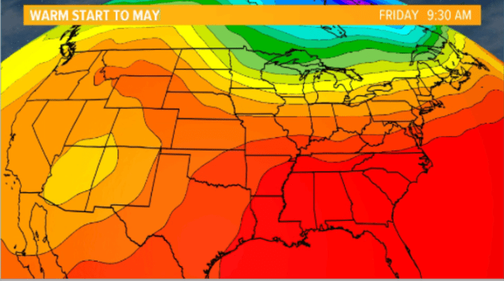
It’s all about the jetstream and our wind flow–not just here at the surface, but in the upper levels of the atmosphere. Here’s the upper level flow late this week:
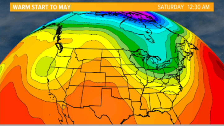
You can see the flow out of the northwest will keep us on the cool side. See the ridge building out in the western US?
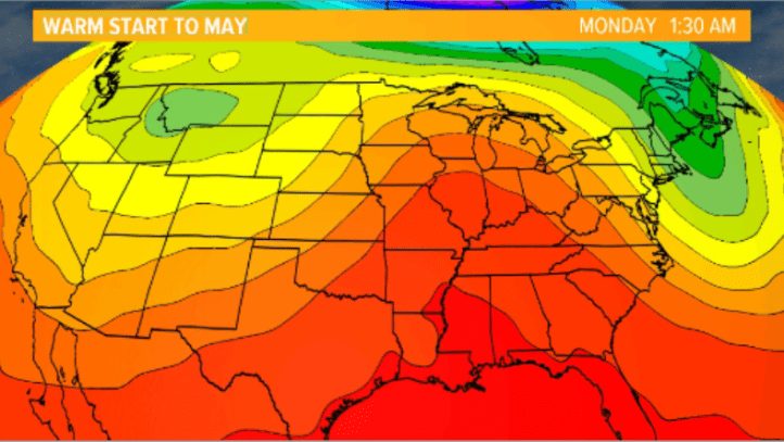
It arrives by Monday as a large bermuda high sets up shop allowing warm, southwest wind to take over the Region.
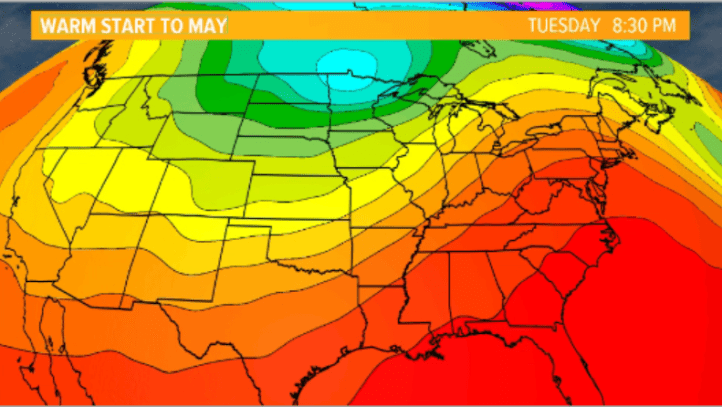
Our warmest day looks to be Tuesday as of now when we could hit 80 (or higher)!
Even after a front passed sometime mid week with shower and storm chances, we stay in a mild, spring-like pattern:
So if you like warmer air, we have it for you in our NEW LOOK 7 day forecast! Enjoy!