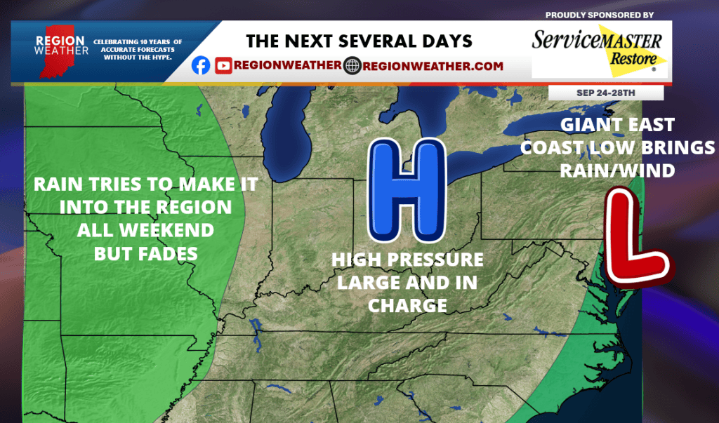
Happy Thursday everyone! Our weather pattern over the next 5 days will get stuck. A giant east coast low will bring a Nor’Easter to New England and the mid-Atlantic with strong wind, rain, and coastal flooding. Why does this matter? Everything has to “wait” to the west of this system and with high pressure in place, we won’t be waiting in a bad place! Rain to our west will try its best to get in here the next few days–but we should just end up with high clouds off that system. Expect sunshine, high clouds, and highs in the 60s/70s and lows in the 40s/50s to be the general rule through Monday!