TODAY’S SEVERE SETUP (Thursday, June 11th)
Good morning everyone–we have another hot and humid day ahead of us which will lead to more strong to severe storm chances as we go throughout the day. Highs will push well into the 80s with heat indices pushing well into the 90s once again. Let’s talk storm timing.
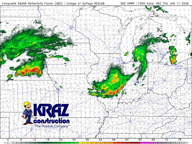
ROUND ONE
A large complex of storms is rolling out of Iowa this morning. This complex is heading our way and most model guidance indicates it will head just north of us–but I don’t want to take the chance so let’s plan for some sort of impact from this initial complex of storms. Wind damage would be the primary risk and doing the math, it would arrive sometime around 10:30am – 11:30am CT. We’ll keep eyes on this and will pass along updates throughout the morning.
ROUND TWO
Our second round will be attached to the cold front itself and this should be the bigger show. A line of storms is expected to rapidly develop in Iowa, Illinois, and Wisconsin–and this line will then roll towards and through the Region late this afternoon into the evening. Damaging winds, hail, and tornadoes would be possible with this one. Not a guarantee, but that’s what the atmosphere will be capable of. Timing for us locally would be in the evening. Once this moves through we’re severe weather clear with lower humidity on the way tomorrow.
Make sure you’re keeping up-to-date on the latest today! We’ll be providing updates all day, so stay tuned.