
NEXT WEEK’S STORM: A REALISTIC APPROACH
In keeping with our motto of giving you the weather information you need but without the hype–here’s the scoop on next week’s storm you’re probably hearing buzz around:
IT’S TOO EARLY.
What we know is that model guidance has been picking up on a strong area of low pressure that will bring a fairly massive storm system through the Midwest and Ohio Valley.
What we don’t know is where the exact path will be and what that subsequently means for precip types and amounts. We can count on a wind-maker–but all else is TBD.
Yesterday the models had a good snowstorm for the Region–today they have moderated a bit with lots of rain and wind changing to snow. Things could change back tomorrow–but I’m leaning towards the warmer (more rain) solutions at this time given the trends the past few weeks in combination with El Nino and that stronger sub-tropical jet that will be in play.
In summary: It’s too early still.
We’ll provide updates as you’d expect as we lead up to this and the potential series of storm systems behind that one! January looks active as we’ve been saying!
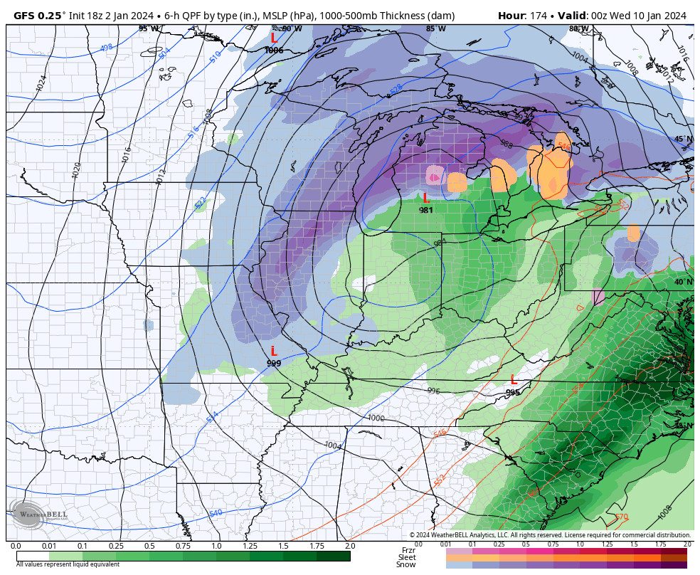
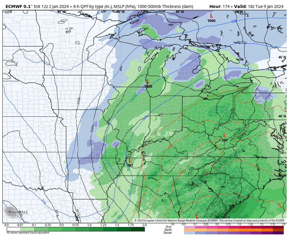
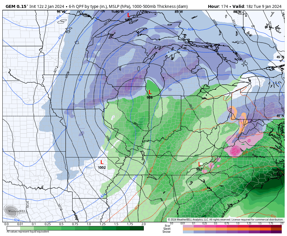
Below: Today’s model runs of the GFS, EURO, and our favorite (sarcasm) GEM

Matt, Thank You for always giving us the best and accurate information. I love that you don’t do all the hype like everyone else’s does. Hope your family is doing well and I bet your little baby is such a joy to your family.
LikeLike