Happy New Year’s Eve everyone! Our system snow has transitioned to lake effect snow as expected this afternoon and we’re seeing some decent lake effect snow falling from a primary band centering itself over Lake and Porter counties.
As of 6:40 pm, the heaviest snow is falling just east of Gary from Lake Station to Portage stretching down into western Porter County with the heaviest snow just west of Valparaiso. This band will continue to wobble its way back and forth this evening and is producing some snow covered roads and slick travel in these locations.
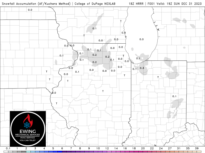
Outside of this band of snow, flurries and light snow showers can be expected with not much in terms of accumulation. As we mentioned yesterday, we’re still thinking a few inches are possible where this band continues to persist–likely continuing in eastern Lake and western Porter counties through midnight.
Here’s a look at the snowfall potential through tomorrow morning: